Hello Steemians!
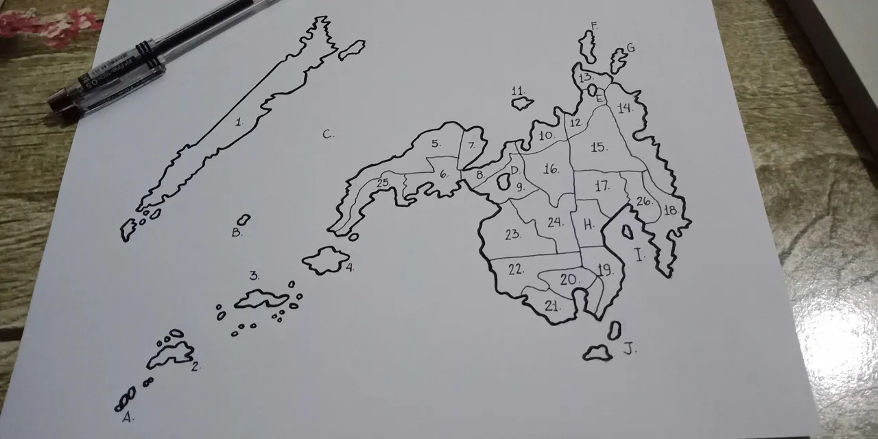
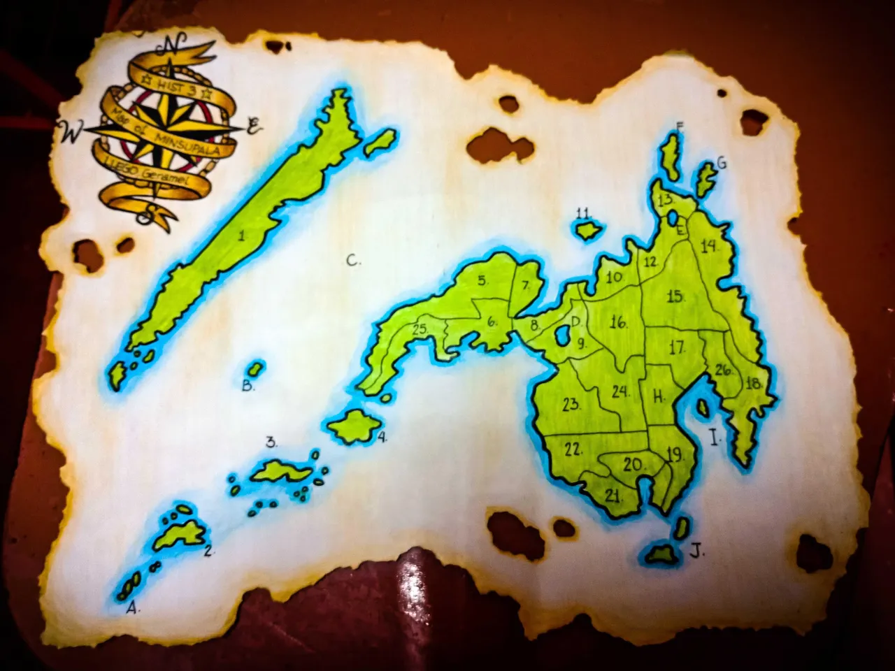
Today I drew the Map of the MinSuPala for our assignment in Hist 3 - History of Muslim Filipinos and the Indigenous People (IPs) of MINSUPALA.
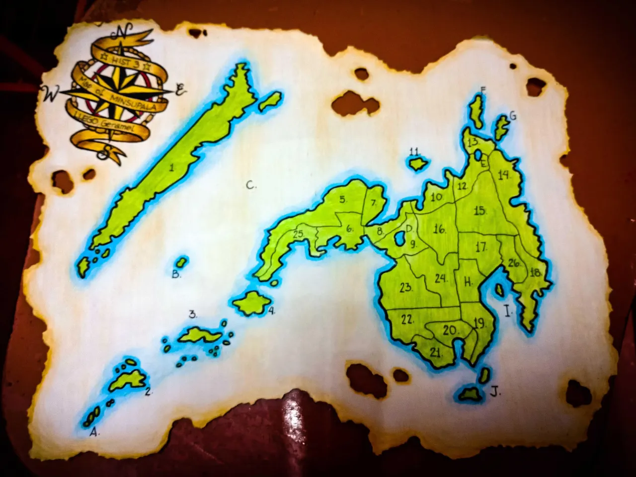
Hist 3 aims to provide a historical overview of the Filipino Moros and of the Iindigenous Peoples of Mindanao, Sulu Archipelago and Palawan from pre-colonial setting to the present time in the context of the Philippine History.
Course Objectives:
At the end of the semester, the students will be able to:
General: Grasp and recognize the value of historical experiences of Filipino Muslims and the IPs of MINSUPALA as significant and distinct part of the Philippine History.
Specific:
- Appreciate the variety in the population landscape of MINSUPALA
- Identify different ethno-linguistic groups in MINSUPALA and describe their distinctive religious beliefs and practices, traditions, etc.
- Discuss to them the process of adoption of Islam in MINSUPALA and the struggles of the Moros to defend their territory.
- Express different reactions of Moros’ and Lumads’ struggles to the policies introduced from American Occupation up to present-day through oral topic defense.
Dong-A 0.5 Fine Tech Ballpoint Pen
Faber Castell Colored Pencils
Short Bond Paper
Faber Castell Pencil
Faber Castell Eraser
Art Process:
I followed the reference drawing from our Hist 3 book and did the rough sketch of the map.
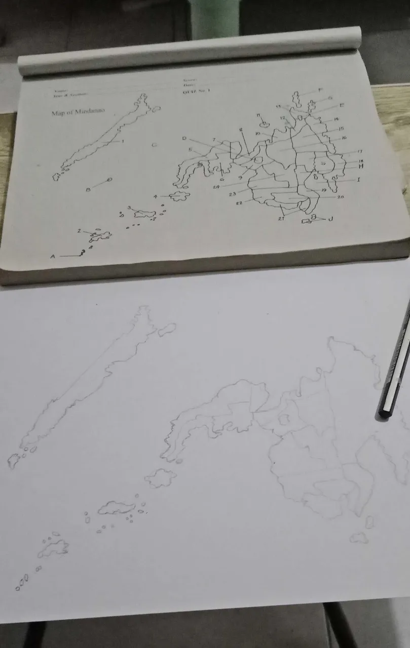
Next I made a clean and final sketch of the map and erased most of the unnecessary outlines using both my Faber Castell pencil and eraser.
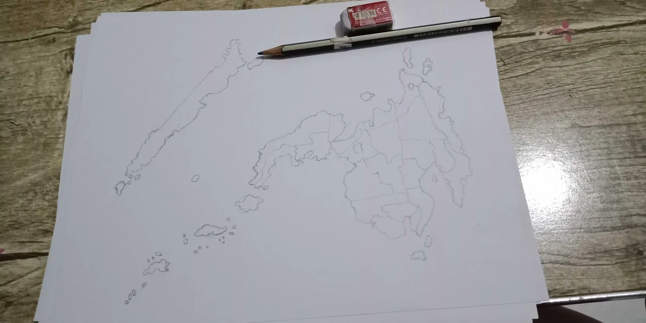
Then using my Dong-A ballpoint pen, I made the first lineart of the map.
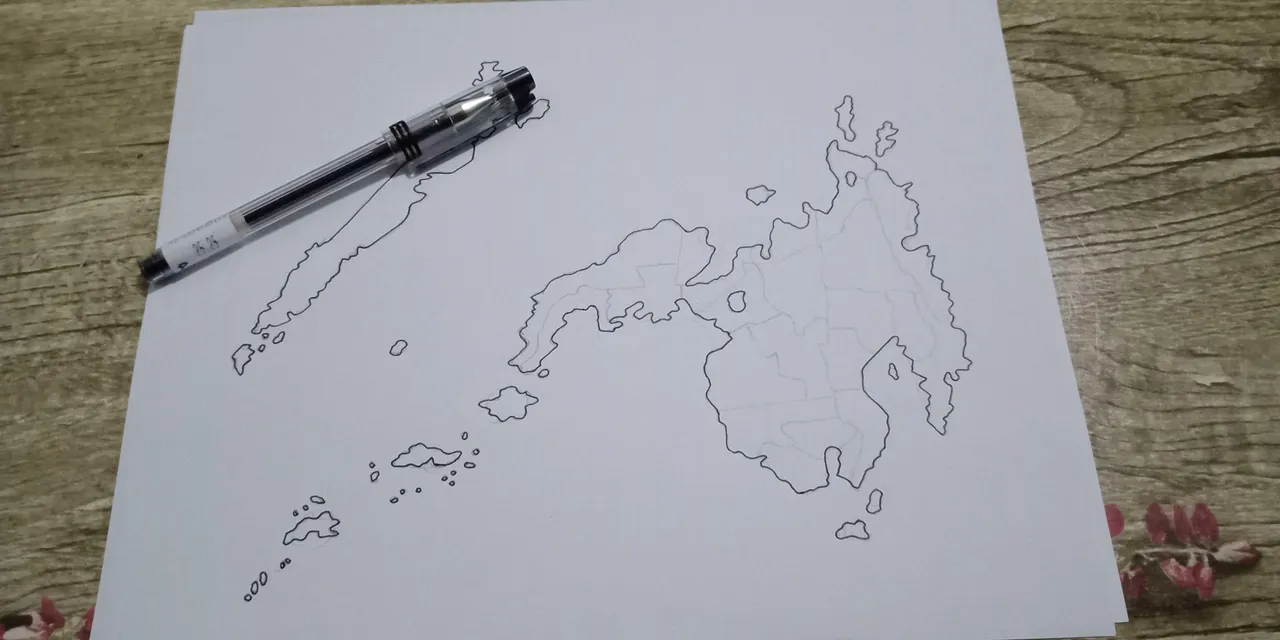
Next, I darkened the outline of the map and made the lineart for the regions and numbered them accordingly.
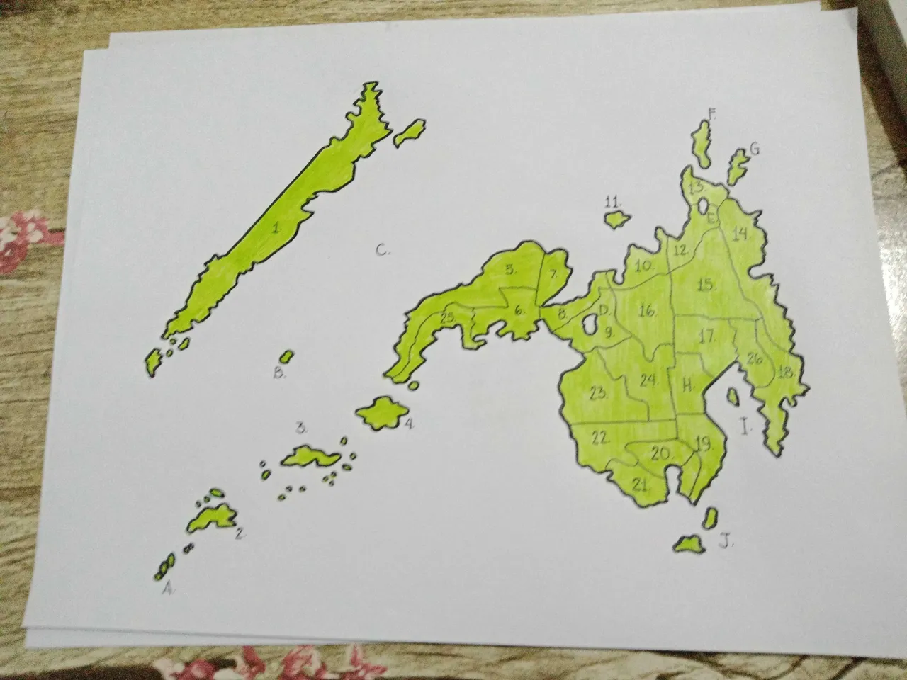
Uaing my Faber Castell Colored Pencils, I colored the inside of the map a bright yellow green color.
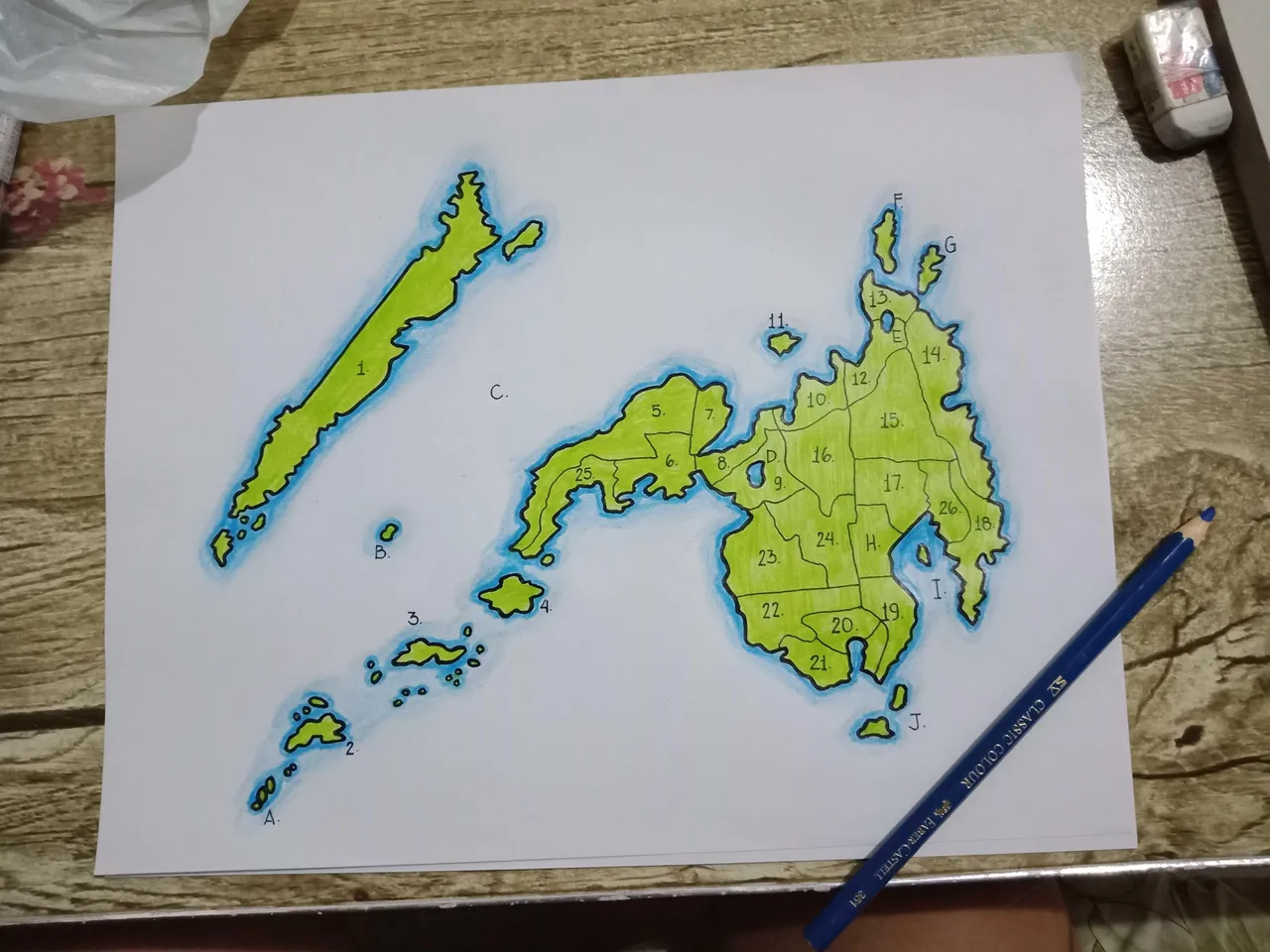
I also added a nice blue outline outside of the map to immitate the water surrounding the archipelago.
Of course a map is not complete without a compass pointing where the north is, and so I drew it in as well.
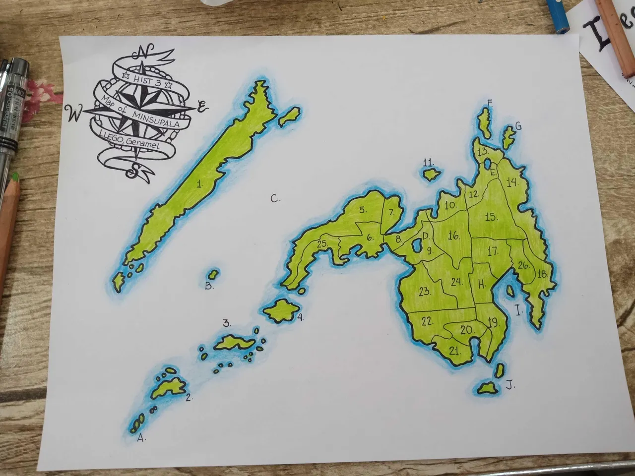
I then colored the drawing of the compass and burnt the sides of the paper to achieve an "ancient map" type of vibe on the drawing.
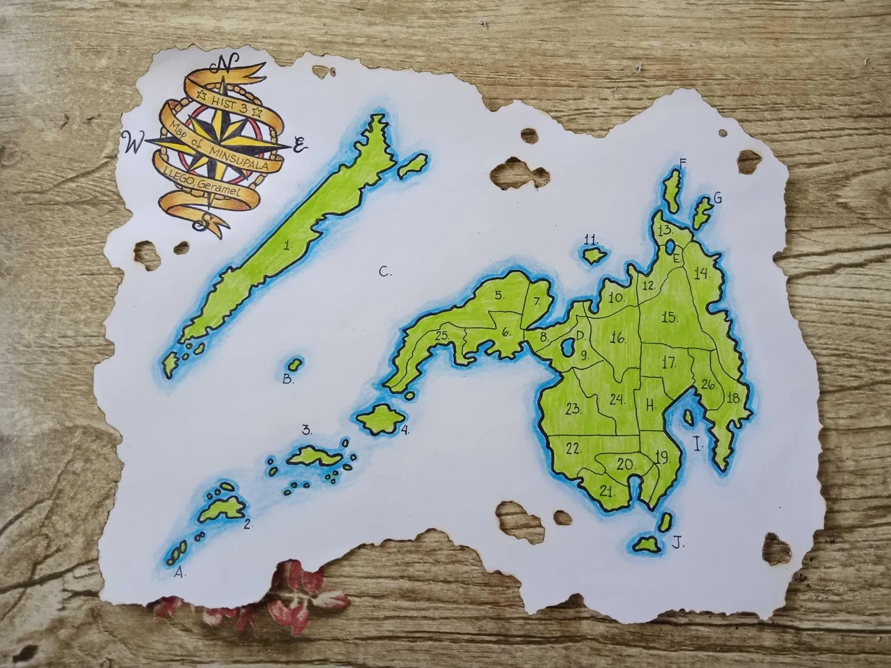
I then colored the paper brown to make it look old and darkened the brown on the sides of the paper. And now the drawing is done! All it needs is enhancing the photo using the Lightroom CC app.
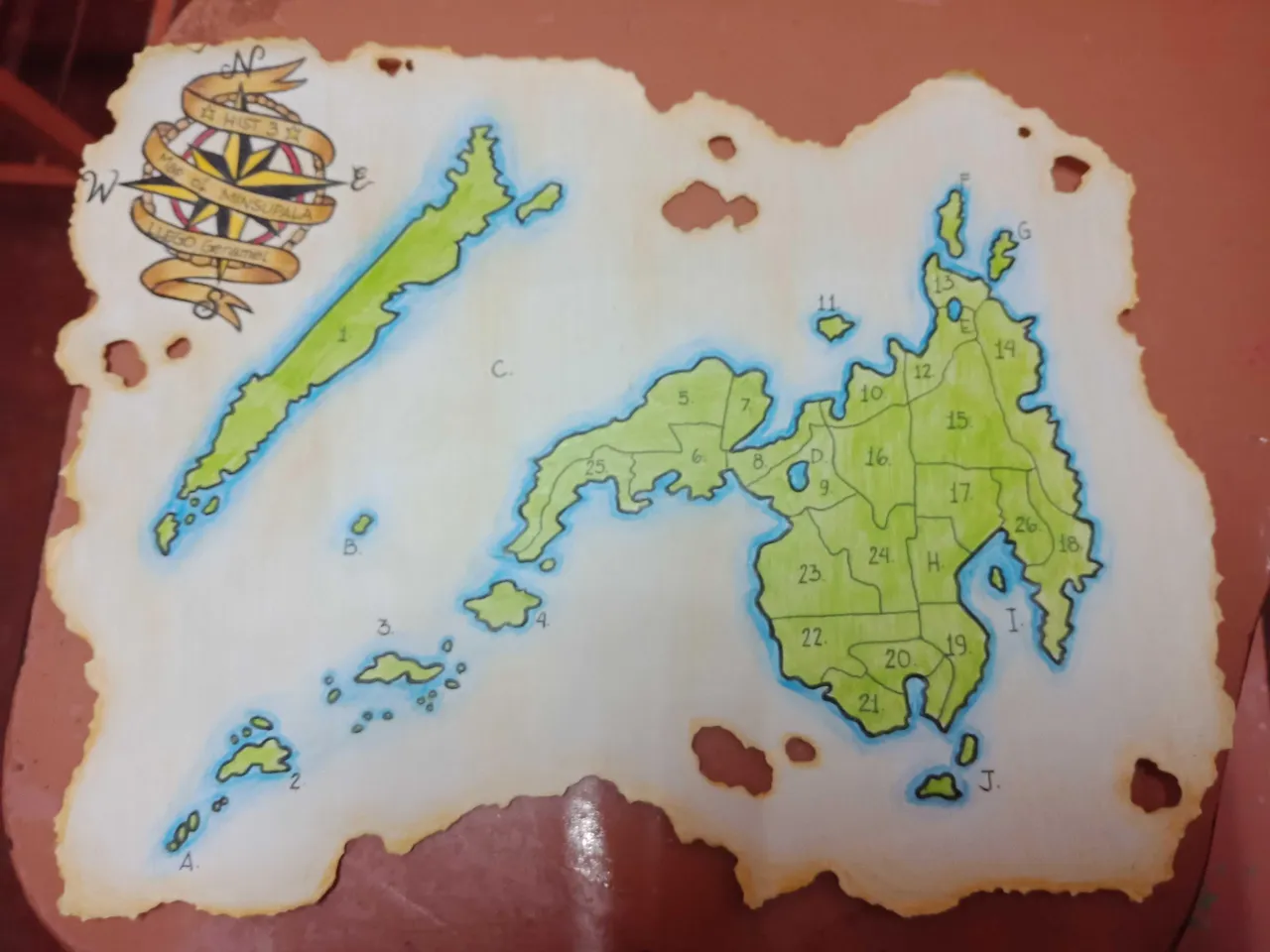
After the edit:
All rights reserved ✔
@lemareg
And remember...
