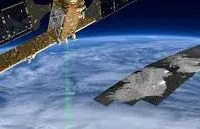
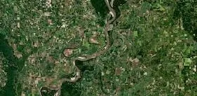
Everybody and everything wants its picture taken these days...

So it stands to reason that the global commercial satellite imaging market is expected to reach a new high by 2022.

Location-based service (LBS) which is being used for things like navigation, shopping, emergency services, weather and traffic info has been driving the use of satellite imaging.
In the past, geospatial processing software and remote sensing was thought of as a sci-fi concept (or SPY-fi) when actually, it is a real information technology-
Now, higher resolution aerial imagery is combining with electric propulsion technology and cloud based data transmission to catapult the market to serve sectors like the oil & gas industry, media & entertainment, transportation and real estate. Just think of the applications for utilities-

Rezatec, a leading UK-based geospatial data analytics company aims to help cities identify and mitigate against flooding, pipeline leak detection, and urban landscape changes.
https://www.linkedin.com/company/rezatec
Partnered with the Australian utility UnityWater, they're using satellite data to bring water-saving analysis and insight across the globe. It really is about time. So now that our technogies are finding ways to save us from our offenses, get ready to see unprecedented growth and development in the commercial satellite market.
Say cheese planet Earth! So we can make ourselves more resilient to the effects of our very own human-related causes.