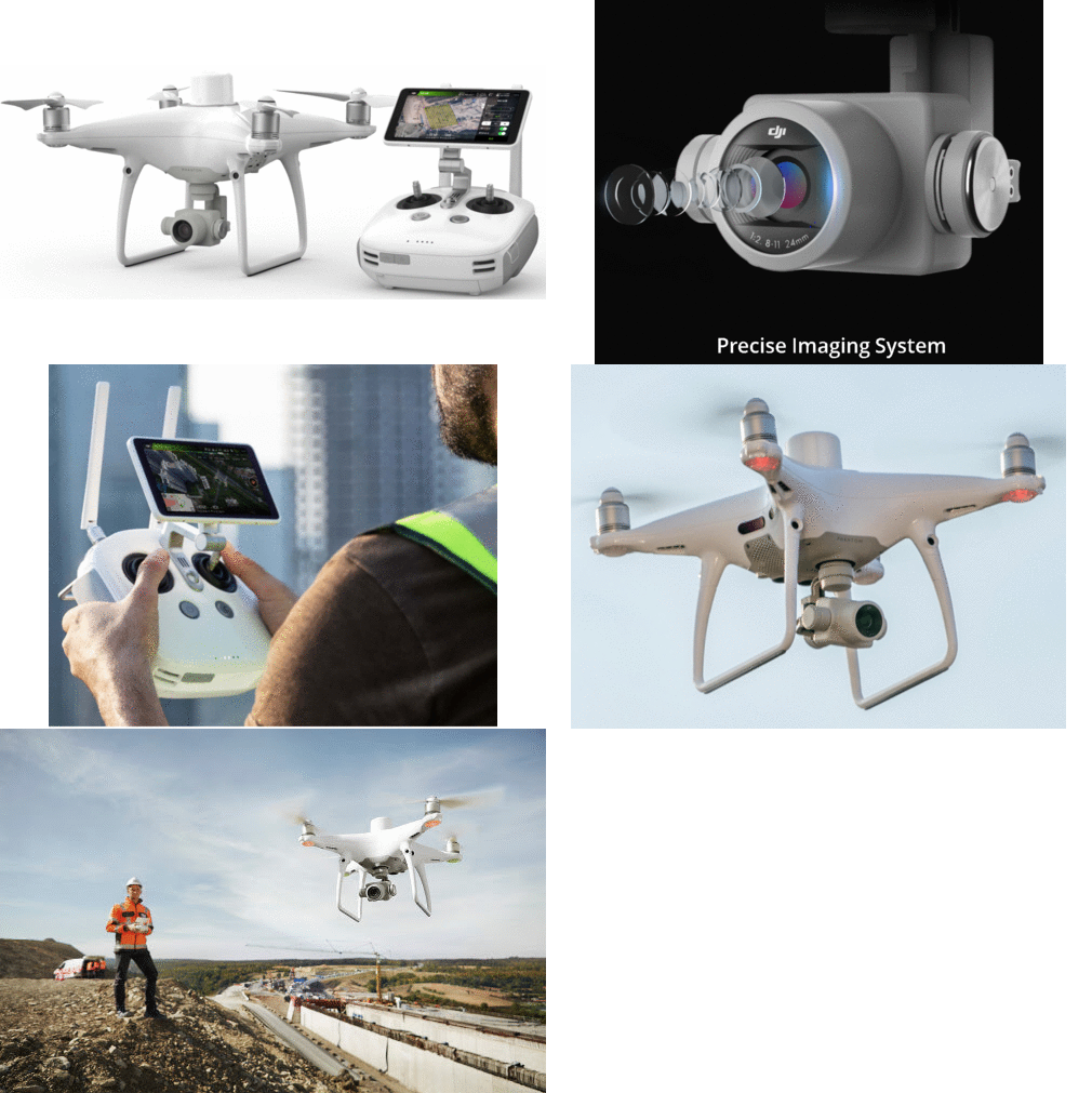
DJI Phantom 4 RTK
Most Exceptional Drone w/ Accurate Mapping|Surveying System
Screenshots

 View Image |  View Image |  View Image |
|---|---|---|
Hunter's comment
I present to you the high-precision aerial survey drone that is completely combined with awesome features perfect for level navigation and positioning.
With this device the conventional way of land surveying or mapping is over. The most compact and accurate aerial drone perfect for low altitude mapping and positioning!
The DJI Phantom 4 RTK has some cool features for next level Mapping and Surveying:
- It has Centimeter Level Positioning System
- It gathers date accurately with TimeSync
- Impressive and Precise Imaging System
- It can transmit HD Image and Video at distances up to 7km perfect for mapping larger sites!
Upgrade your traditional way of mapping. With this device you can gather the most precise data that it captures from complex surveying, mapping and for inspection workflows! Thanks to DJI Phantom 4 RTK
Link
https://www.dji.com/phantom-4-rtk
Contributors
Hunter: @dwaeji-aizelle

This is posted on Steemhunt - A place where you can dig products and earn STEEM.
View on Steemhunt.com
