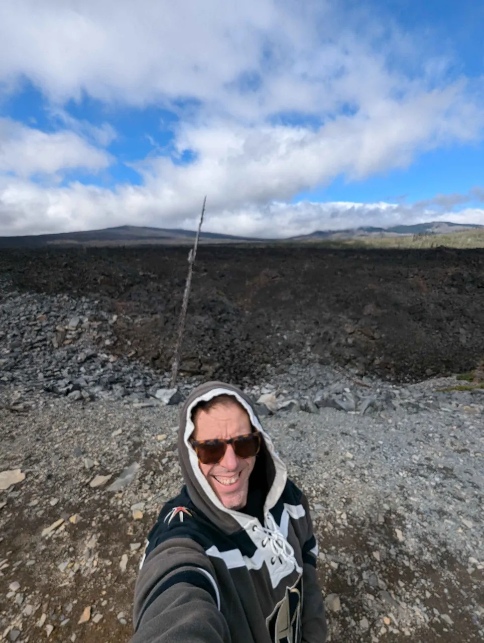
OK, folks, get ready to nerd-out to some awesome geology!
I was in central Oregon the other day, heading out to visit my daughter, where I took a scenic route recommended by a friend. The McKenzie Pass - Santiam Pass Scenic Byway.
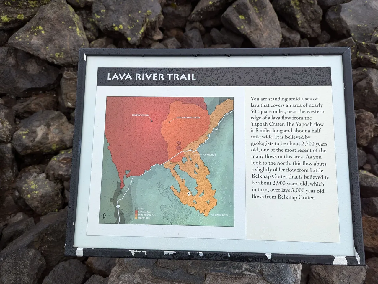
Up in this area of the Cascade Mountain Range is a sea of lava that covers and area of about 50 square miles!
It was quite amazing to be driving up a mountain road through a pine forest, then suddenly turn a corner and see nothing but lava rock all around.
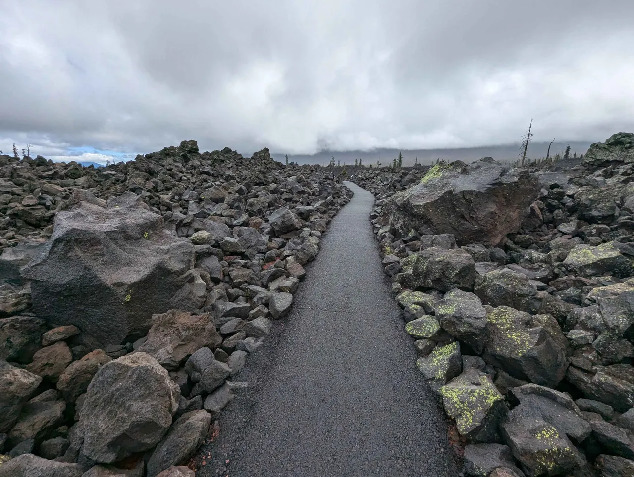
At about 5500 feet elevation, the McKenzie Pass has a half-mile loop walking trail with some signs along the route to help interpret the foreign landscape.
The signage was awesome and clearly describes the different geological scenes in front of them. I'd recommend reading them because the pictures alone all kind of look the same xD It's the descriptions on the signs that help to see the features.
If you've read this far and are still reading, wow! And thanks 😂 now the good part.
Let's get started.
Overview
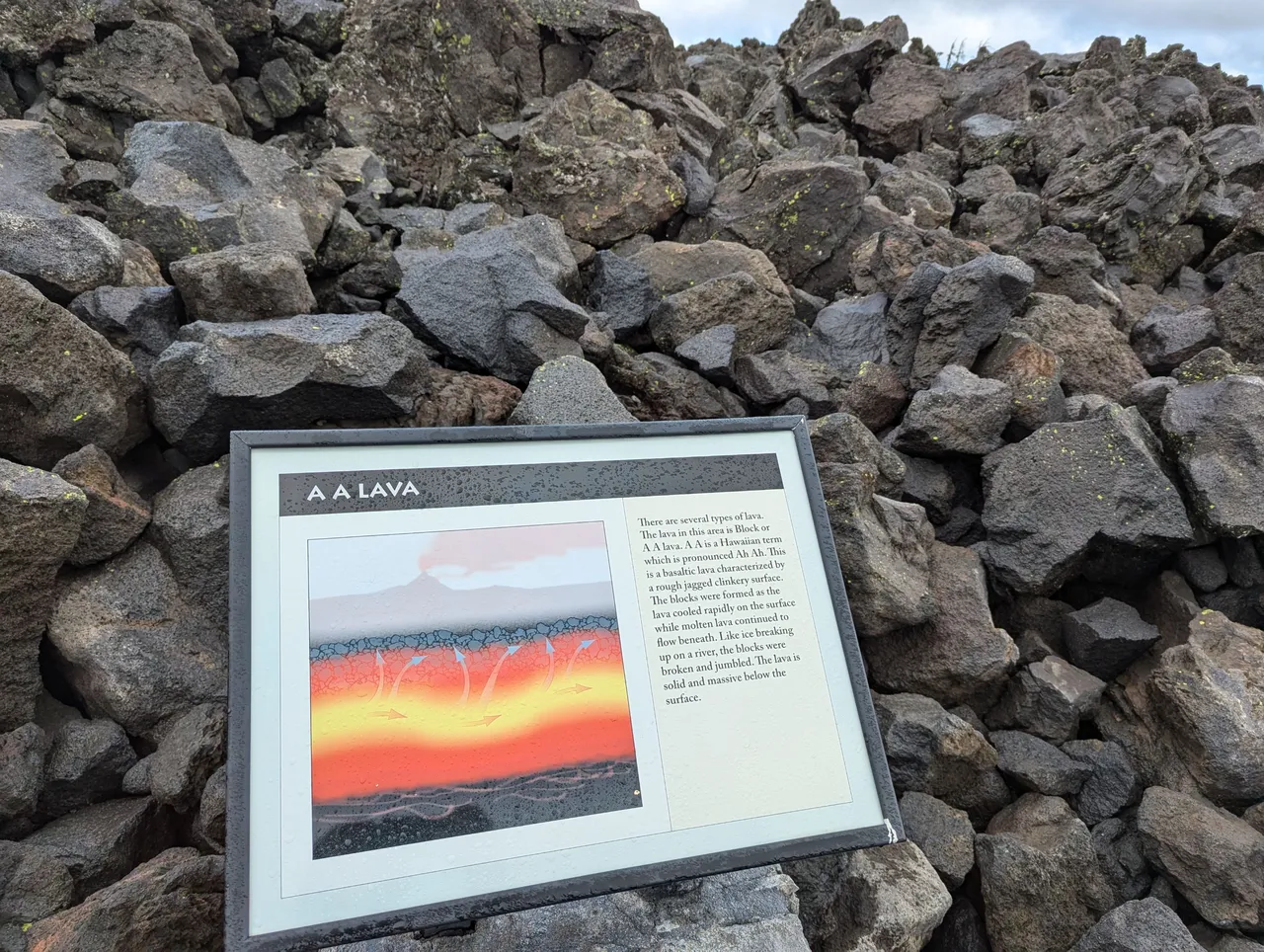
A A Lava
This second sign explained a lot! As I drove up through the lava field towards the pass I was wondering why (and how) the lava was all broken up into various size rocks and boulders. Right away I got my answer, and I was blown away thinking about the hot lava acting this way thousands of years ago right where I was standing.
Wagon Road
Damn!
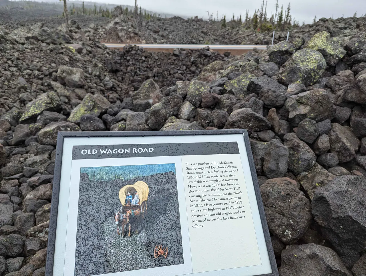
#lavalife
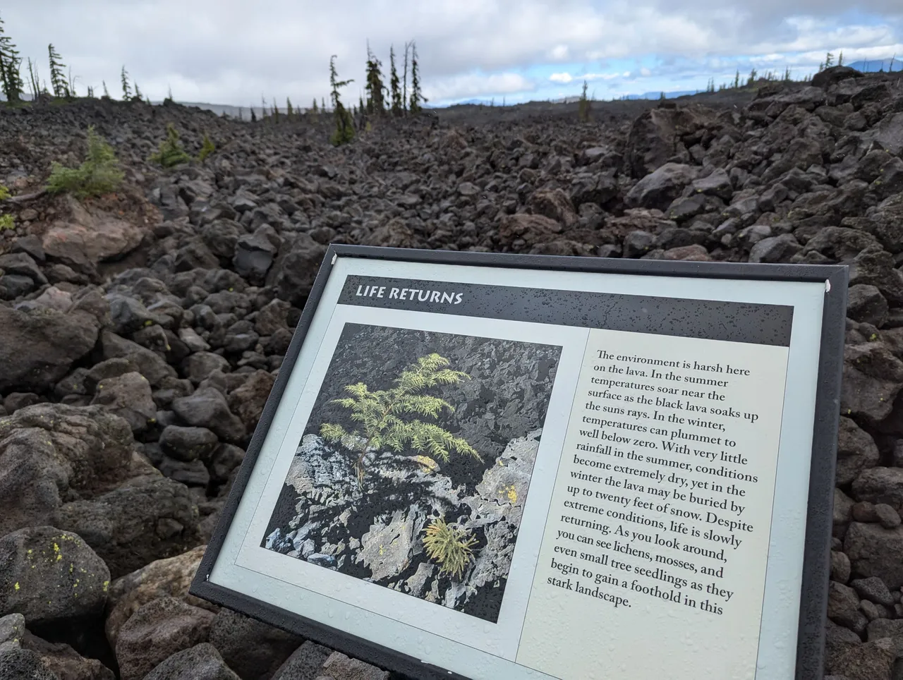
Lava Gutter
Standing here reading this sign was nuts, it just floored me that I was standing where molten lava was once flowing.
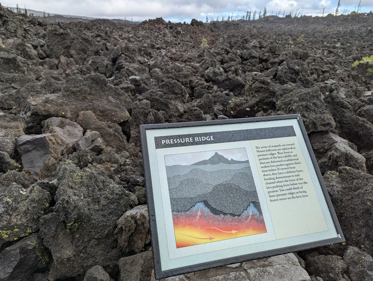
With all the rocks being the same color the perspective in these photos is whack, hope you can see what the signs are talking about 🤞
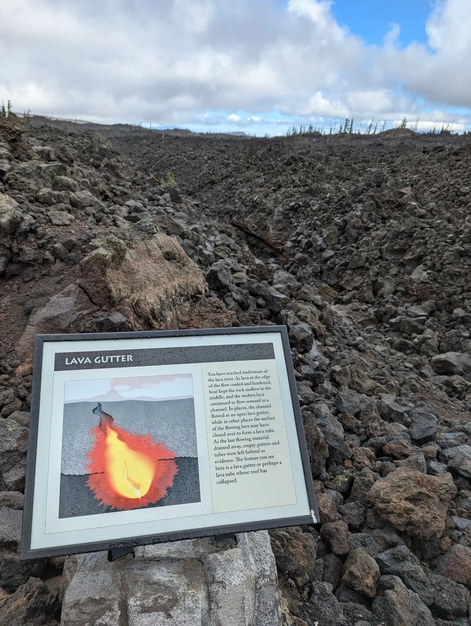
Pressure Ridge
Yeah, I can't see them in this picture either, but they were there.
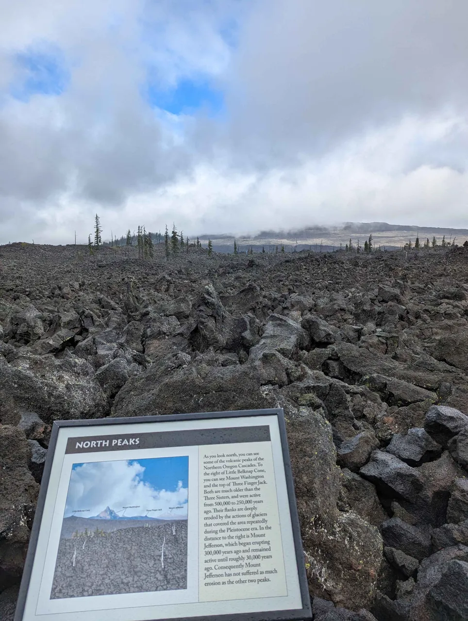
North Peaks or Clouds xD
It was a beautiful, sunny day the whole drive. Then I parked at the pass and it was 47°F with wind and intermittent rain.
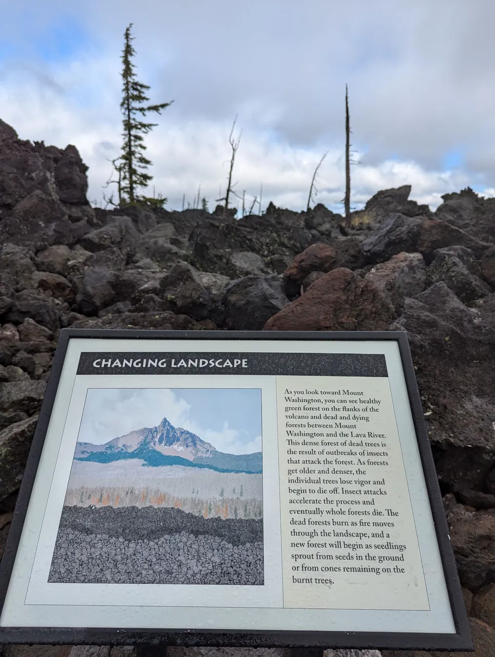
Changing Landscape
Fire: A new beginning
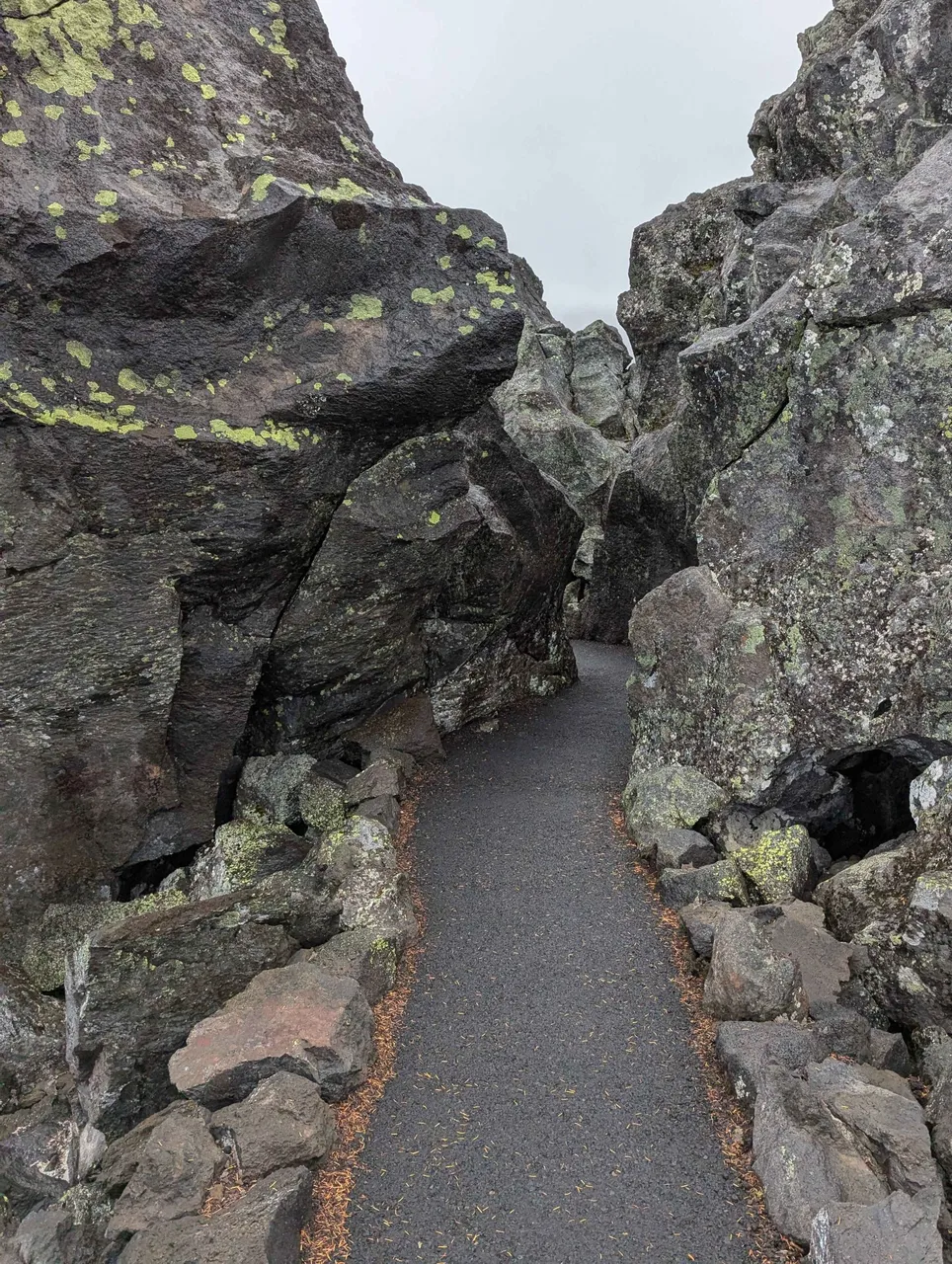
From here the trail went up a small hill, when I got to the top and turned the first corner, I saw this...
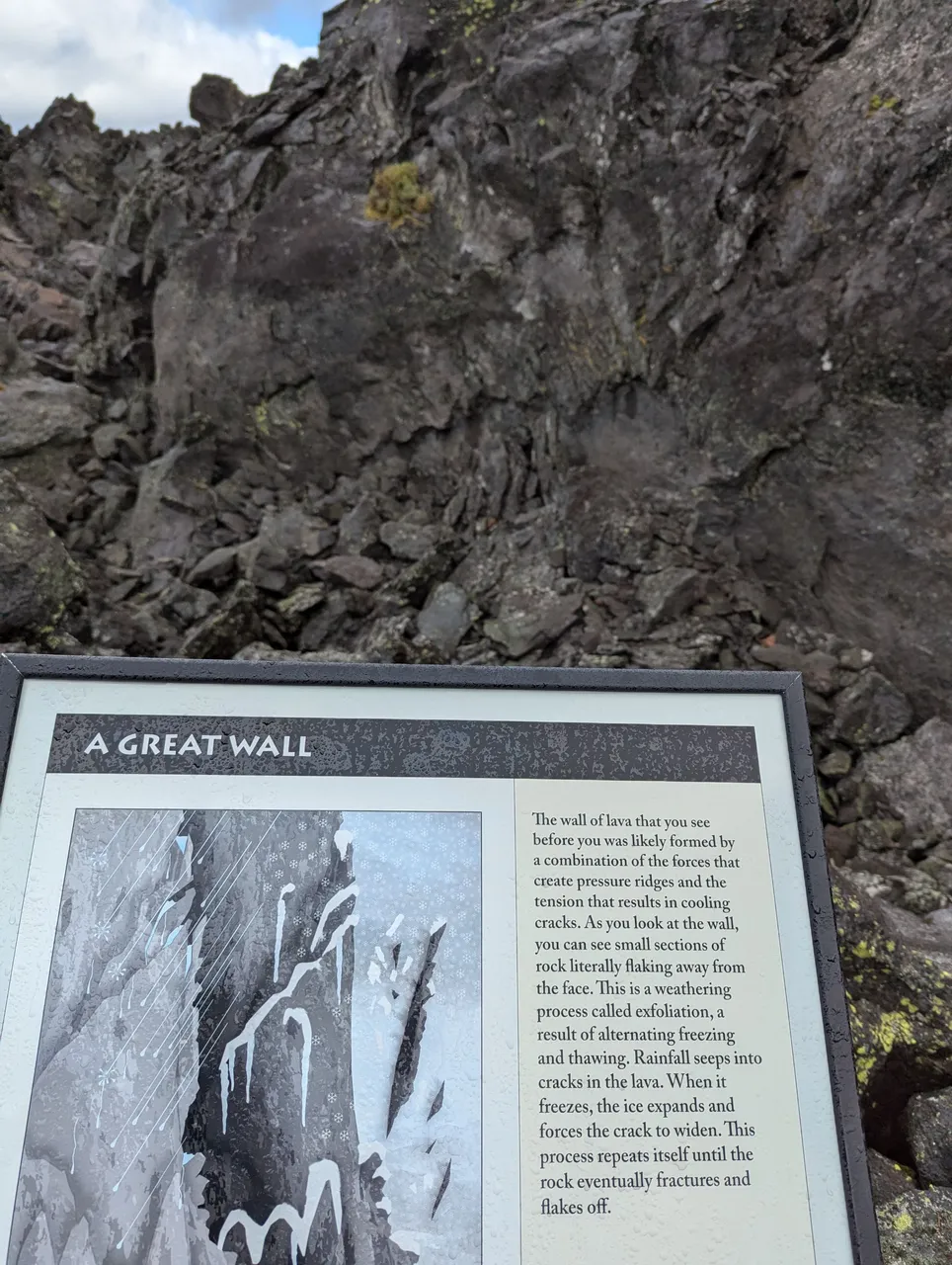
Exfoliation
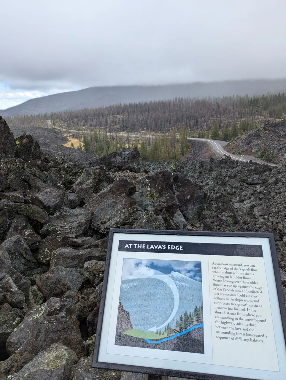
Lava's Edge
That's the road I drove up. Also went down that way, and as I drove down I noticed the edge of the Yapoah flow on my left. Imagining the power of flowing lava I found it hard to believe it just stops at some point.
You can see the meadow described in the sign, it's the yellow spot of dead grass.
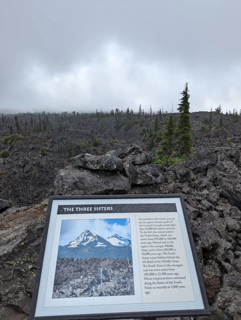
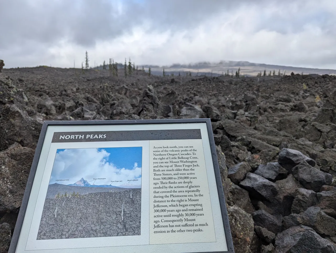
More Mountains Clouds
Nothing to see here, but both these signs have a good timeline of the volcanic activity here.
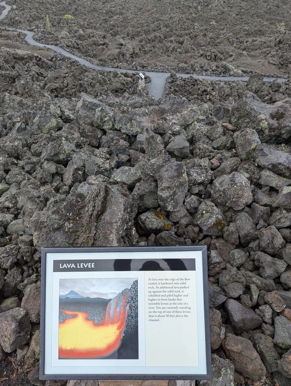
Lava Levee
Again, perspective is whack, but I'm about 30 feet above the lower trail here, standing on the levee.
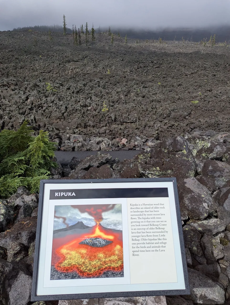
Kipuka
This is a cool feature, and easy to see in the top right of the photo :)
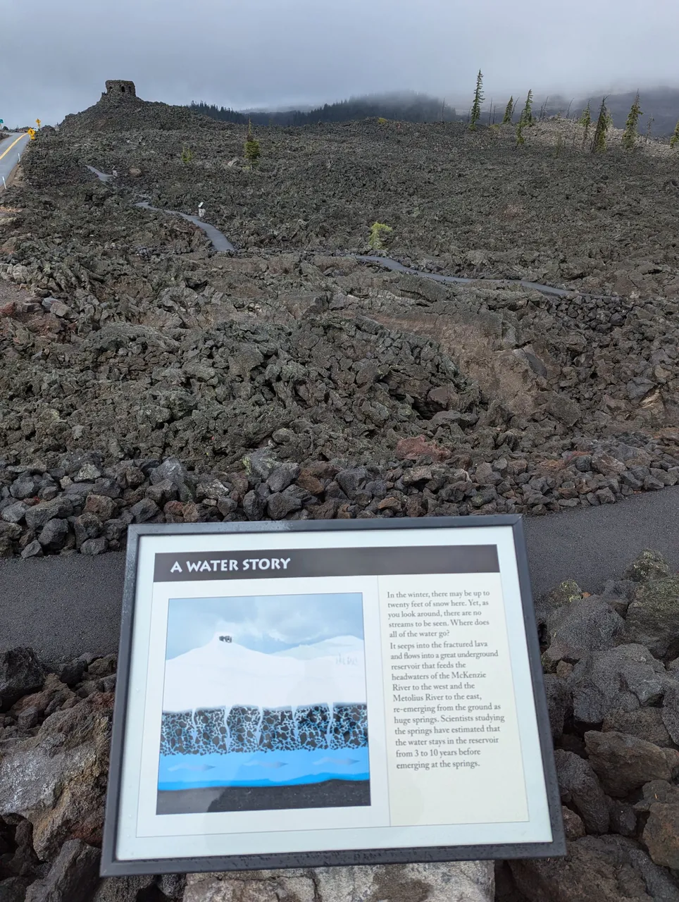
Underground Reservoir
Uhhh, reading this sign while standing here did freak me out a bit. Thinking of that spring directly under where I was standing gave me the willies 😬
Also, in this picture you can see the parking area and the beginning of the trail in the top left. I did not climb the hill to that lookout as there were about 30 people up there when I got back from this tour.
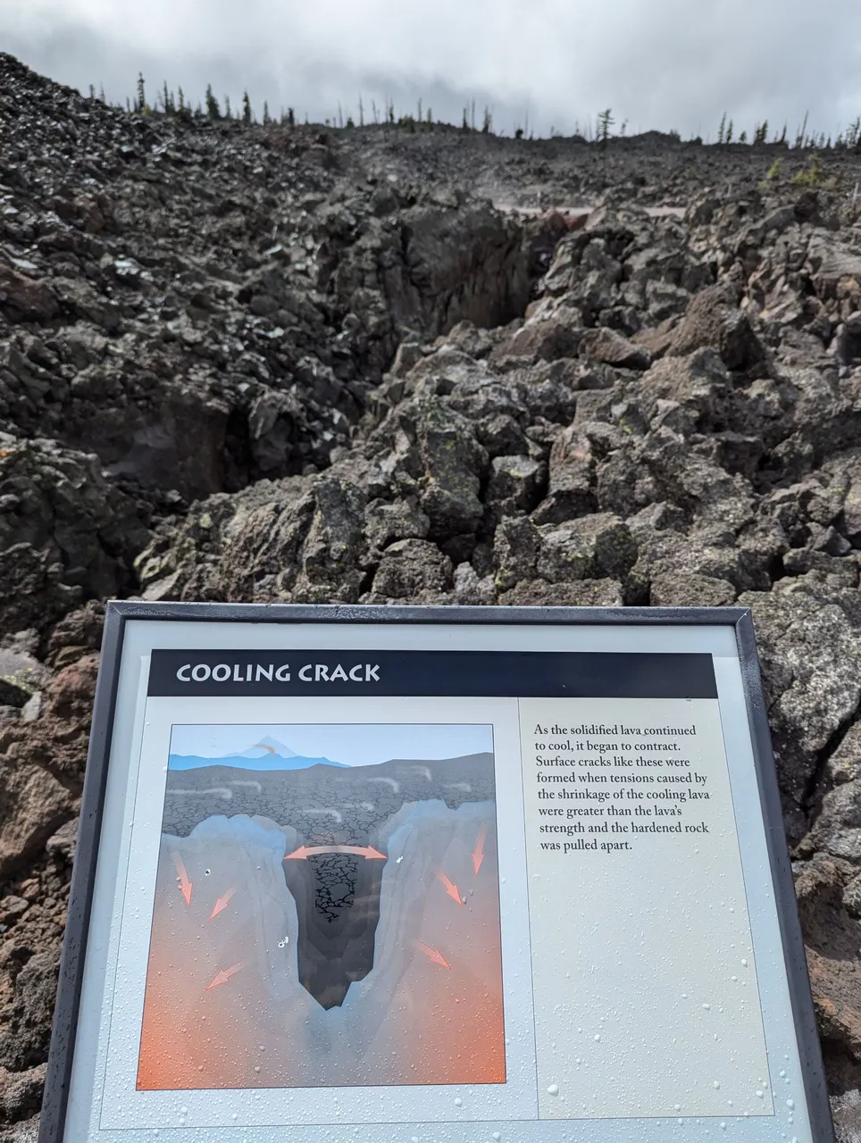
Cooling Crack
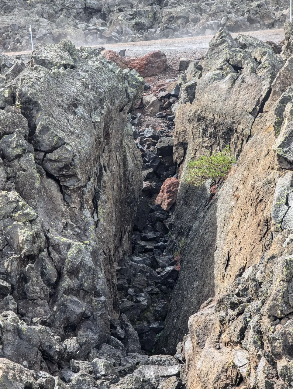
Took a couple steps to the left of the sign and got a good shot of the crack ;)
...and that's the end of the tour, hope you enjoyed it as much as me. This place is amazing and I am already planning a trip back. There are lots of state campgrounds in this area so next summer I'll be heading back for days of exploration.
