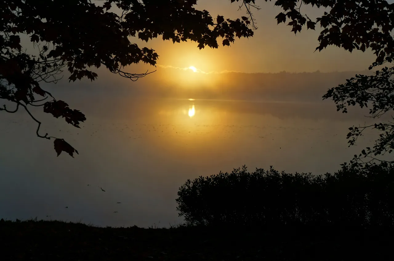
Day 3 of 7hr Plane Crash Trail started off cool with a fog coming in on the bay. It was the perfect start to the day!
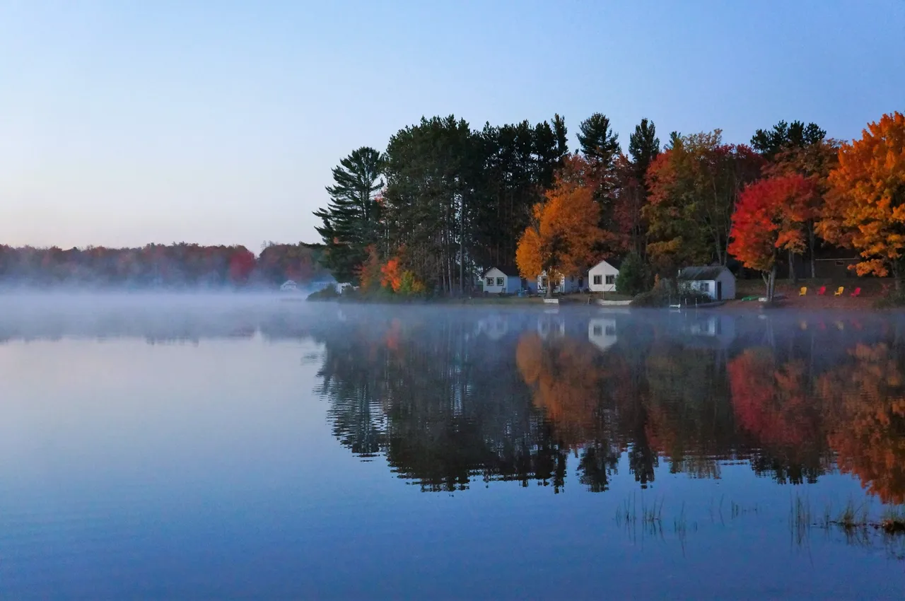
We packed up the rig and got ready to start the day. With the sun a little higher in the sky I was able to get this picture of cottages on the shoreline.
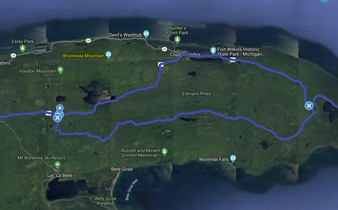
This would be our route for the day. We started in Baraga State Park down at the bottom of the map and headed to the tip of the Keweenaw Peninsula.

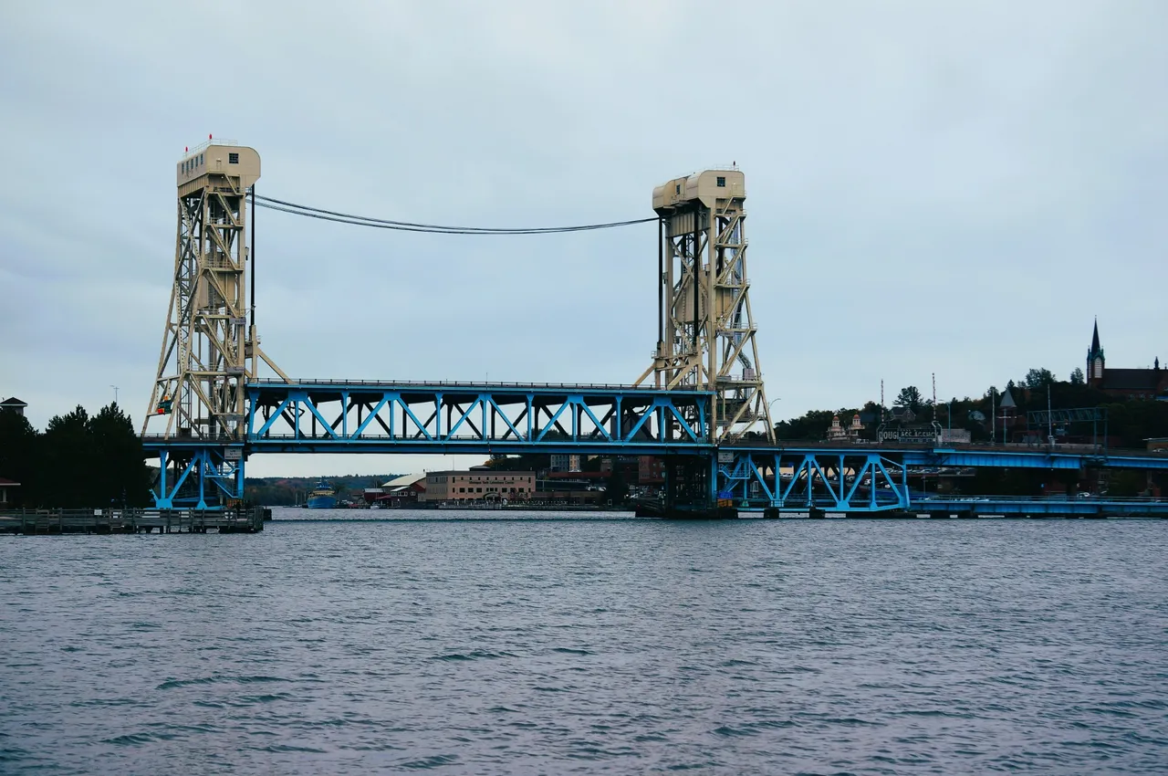
Portage Lake Lift Bridge
The Northern part of the Keweenaw Peninsula is actually an island. Separated by Portage Lake is the town of Houghton on the South and Hancock on the North. This bridge is the only way to get across
Once you cross this bridge you'll want to make sure you have food and gas. Not many options in this area and some of the places up here are seasonal.
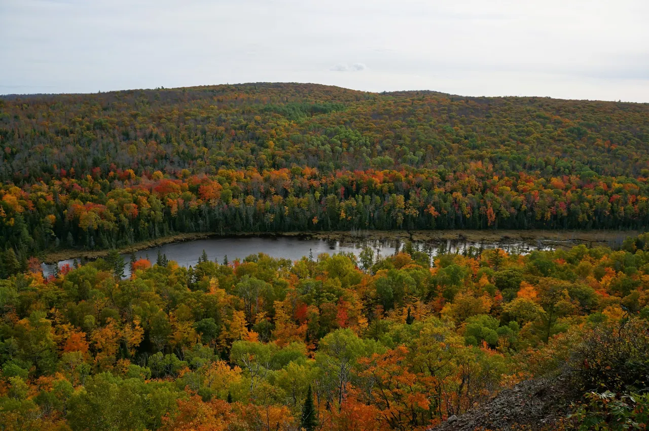
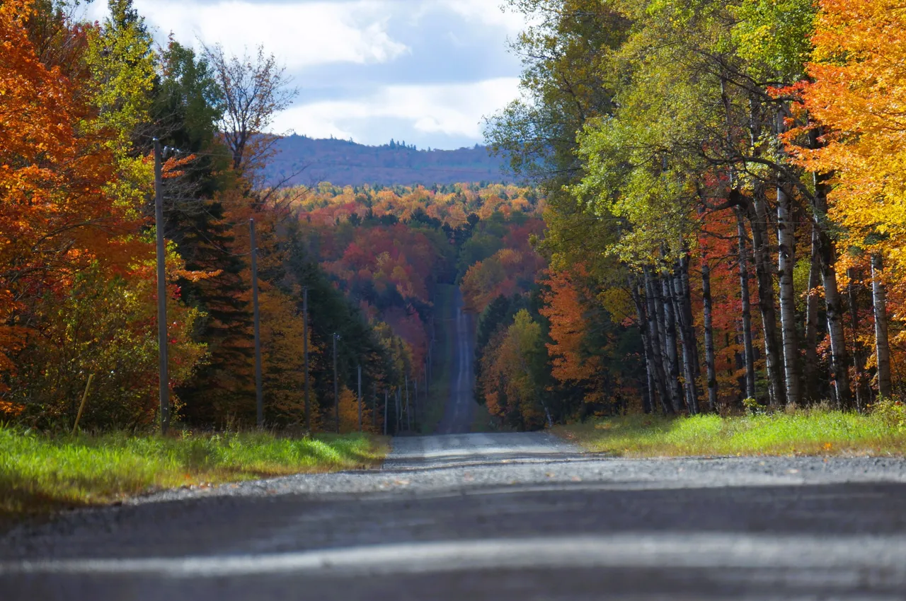
The drive is amazing up here with natural beauty surrounding you. It was surprisingly busy for this late in the season. We later found out it was the local college parents weekend, the town festival and peak fall color tourism.
We tried to make it up to High Rock but the trails were packed with side-by-sides. After a stop at Copper Harbor we headed back South. While cruising down the shore we saw this barge out on Lake Superior.

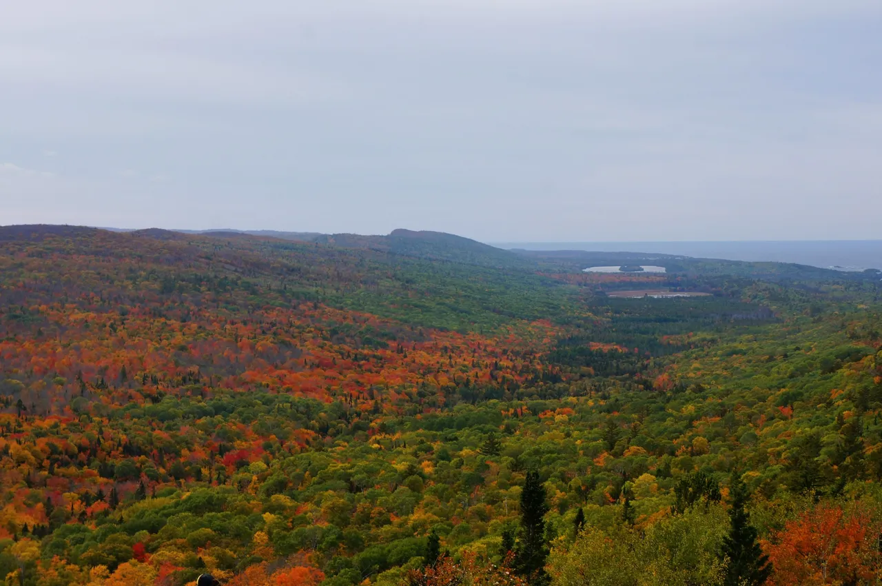
Brockway Mountain Drive
Just off the trail was a place we love to visit. Brockway Mountain is a scenic drive that takes you up a few hundred feet in elevation and looks out across Lake Superior.
The views are amazing!

It was time to get back on the road. We decided to run highway 26 down the coast and see what was happening over there. Typically we'd just run highway 41 back down into Houghton.
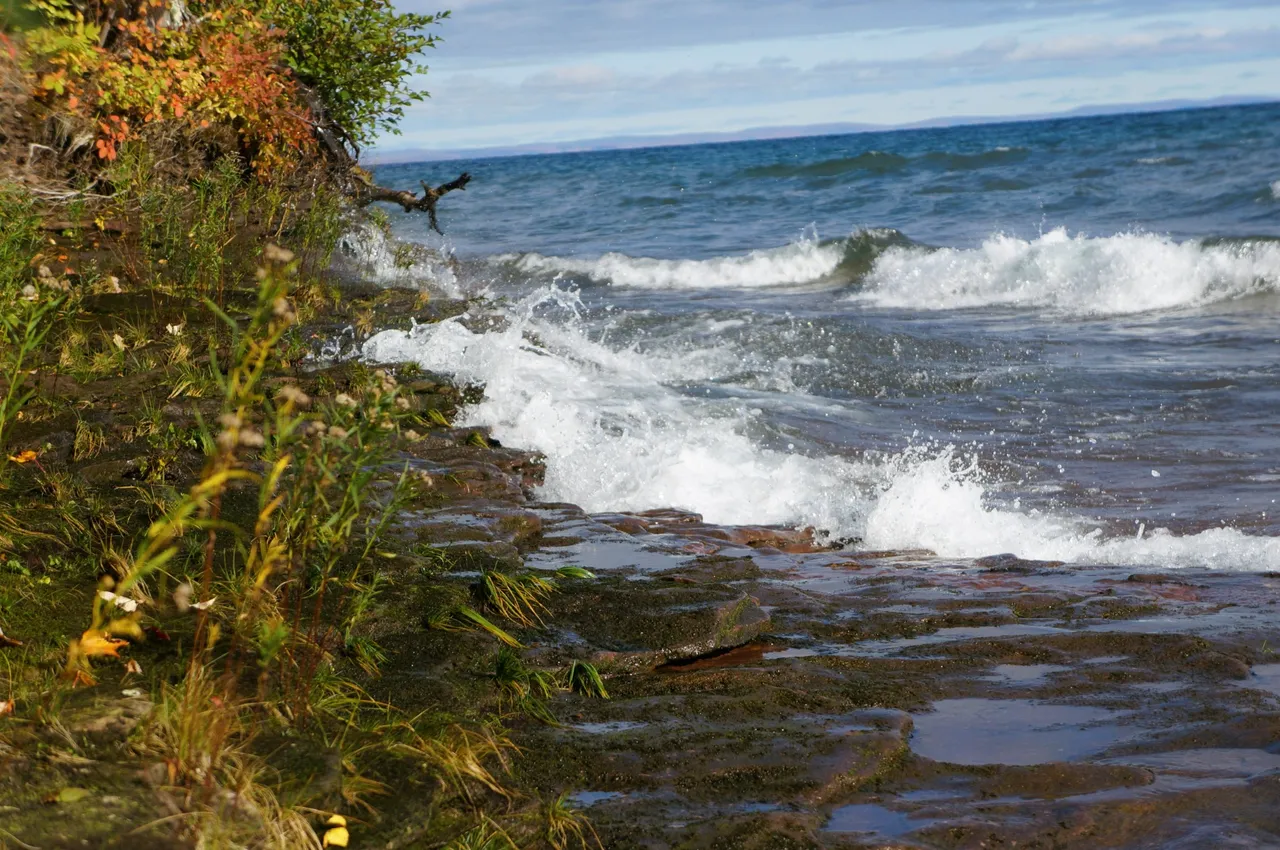
Happy we took this way and got a couple pics of the lake crashing on the shore.


Back down Highway 41
One thing we try not to do is back track. Today we broke that rule. We passed right by the State Park we stayed at the night before and continued into L'Anse.
Mt Arvon Summit
The tallest point in Michigan isn't far from here so we decided to head up there. The road was rough in parts and not nearly as busy as the other places we've been.
I'm so happy we took this route because it's where I got my favorite picture from this trip! Let me know what you think.
Eventually we made it to the top. At 1979ft it's the highest point in our state. This is the marker at the top.

This was our view!

What an amazing time it's been but we need to start heading toward home. This was our first time driving through the largest city in the UP. Marquette is on the South shore of Lake Superior and is home to 20,000 residents. It was a nice little town we'll be visiting next year.
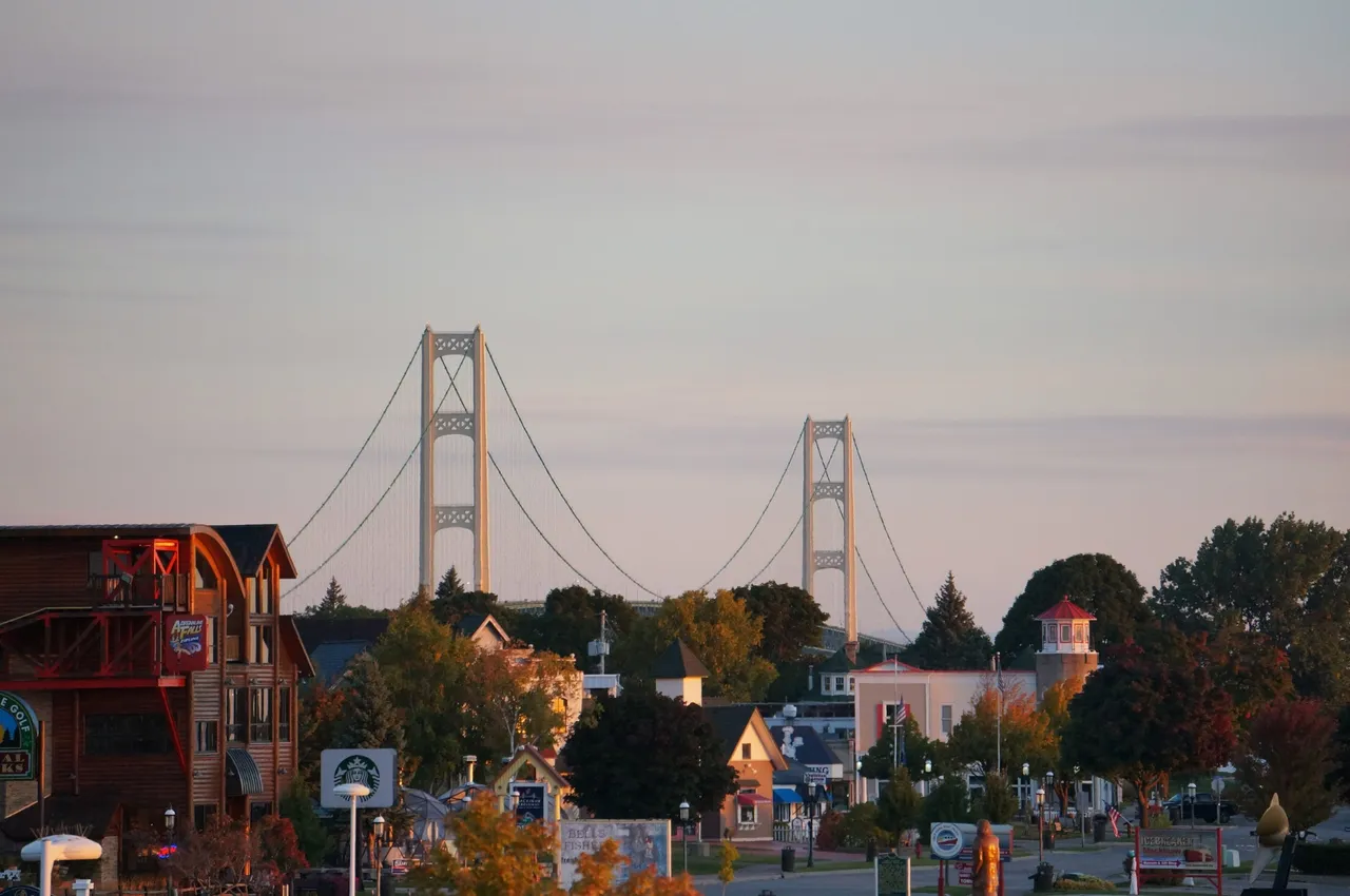
Knowing we weren't going to make it all the way home today, we needed to find a place for the night. Mackinaw City was where we decided to stop. The bridge was lite up and right outside our room.

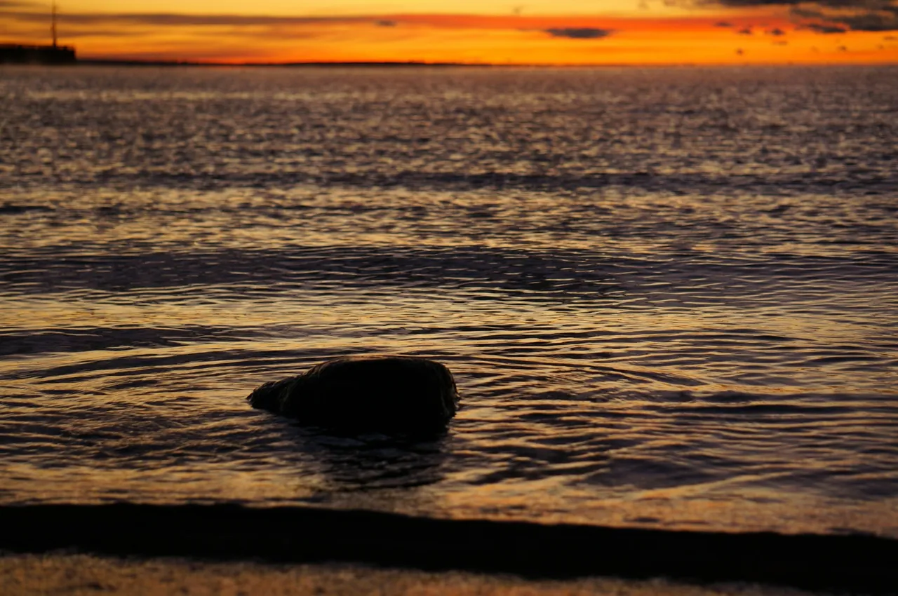
After a good nights sleep I stepped out on the beach for the sunrise. It didn't disappoint! I even caught a ferry boat taking people out to Mackinaw Island.


We hope you enjoyed this trip and maybe gave you some ideas of places to visit. The video from this section of the trip is still being edited.
Thanks for following along and we hope to hear from you in the comments. All pictures are mine taken with my Sony NEX-5r and kit lenses.
