Panoramic Views for Miles!
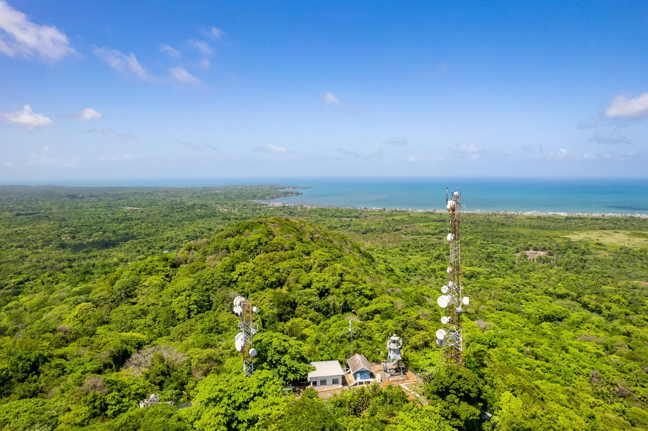
The Brigand Hill lighthouse is one of the mighty few in Trinidad with great views and deep history! There is An amazing panoramic view of the of the mayaro manzanilla stretch with its waters that were a breath taking color. In 1958, Brigand Hill was used as the appropriate location for the lighthouse by the colonial government at the time. It was much needed due to the marine hazards at manzanilla point that included Darien Rock; a hard to see danger for passing vessels. But before all of this, the location has history going all the way back to the indigenous and enslaved peoples. Today we explore the hill, its amazing panoramic views and its infrastructure!
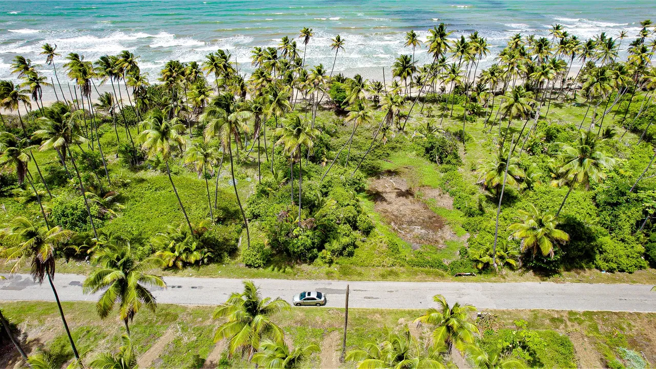
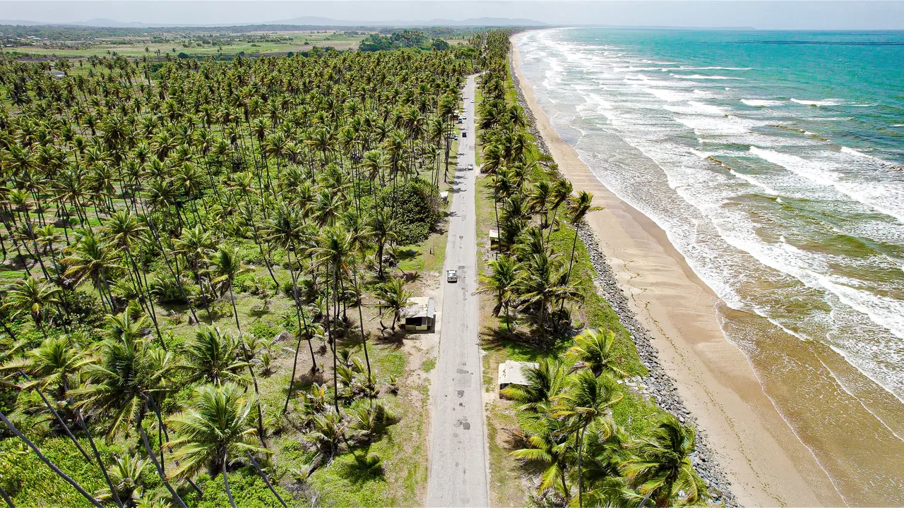
The drive there from the Mayaro side was scenic as usual with its coconut trees along with unusually clean blue waters. Many were saying the clean blue hues as opposed to the usual muddy brown was due to the ceasing of oil drilling just off shore as well as the rarely long dry season! Just after manzanilla, along the plum mitan road and taking a left departing from the coconut lined coastline, a steep forested track takes you up to the lighthouse.
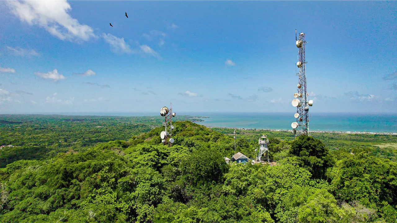
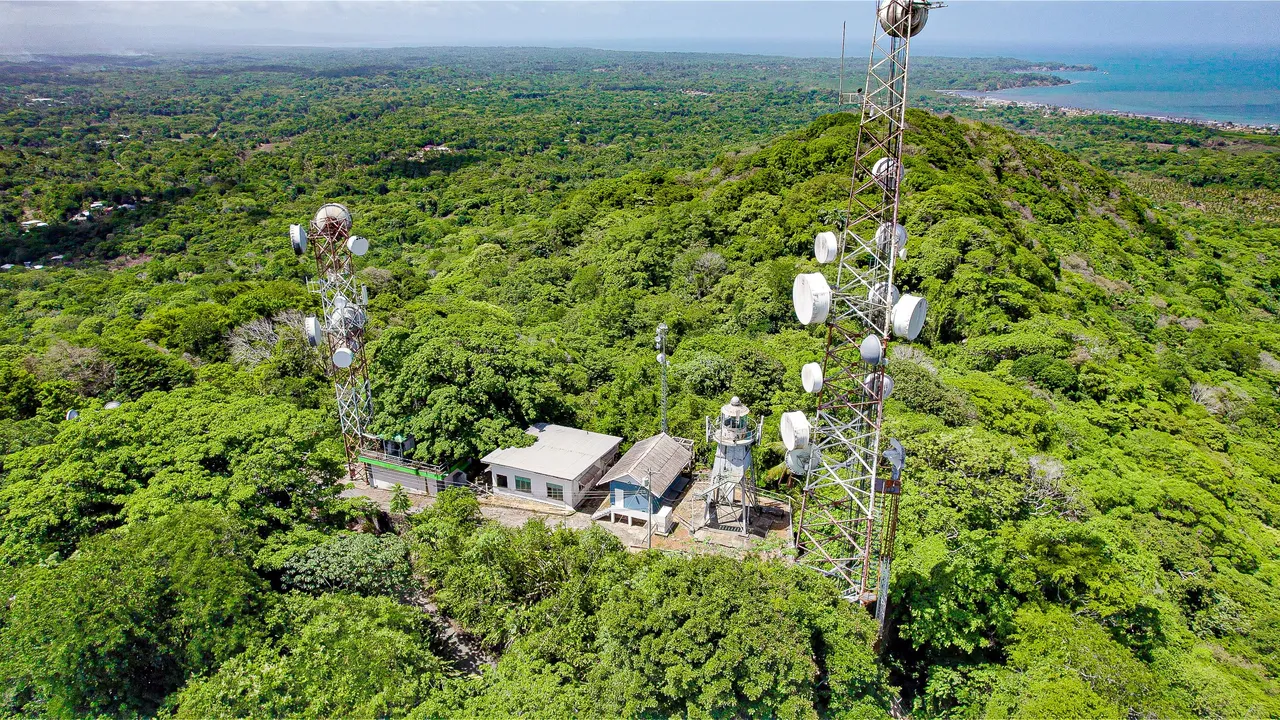
By the time we got to the top the weather was perfect in terms of visibility allowing us to see for miles with great clarity. There were a few buildings including telecommunications infrastructure. You could see why the hill was chosen as a prime location for the lighthouse as it rises starkly amidst a relatively flat area of the island.
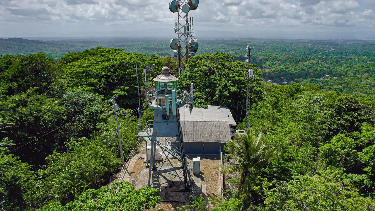
The location has history going all the way back to the indigenous and enslaved peoples. The hill got its name after Brigand or Bandit, the word used by the colonizers when referring to the maroons that thrived in the area. These undefeated maroons also had mutual relationships with the local Amerindian peoples, a beautiful microcosm, foreshadowing what it would mean to be Trinbagonian today.
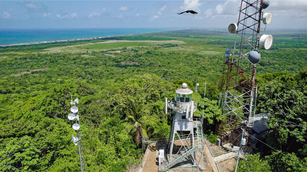
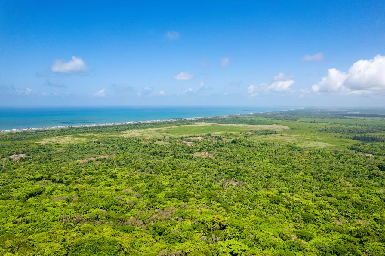
This is what the view was like facing eastwards where the coastline was, revealing the great expanse of the Manzanilla/ Mayaro Stretch. I just loved how absolutely amazing the color of the waters were here and the lush thick forest that was in between us and it. I could imagine the maroons and how they would have carried out their daily lives here while also having the advantage of the said forest with their guerilla tactics against the colonial forces!
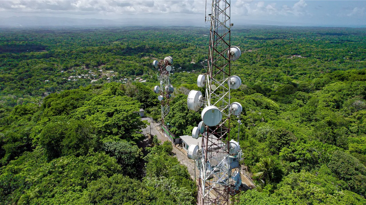
In the background of the above shot, you can see the town of Plum Mitan nearby. The road that takes you up to the hill is just off the Plum Mitan road but before the town so I did not get to visit just yet but it should be visited in the future!
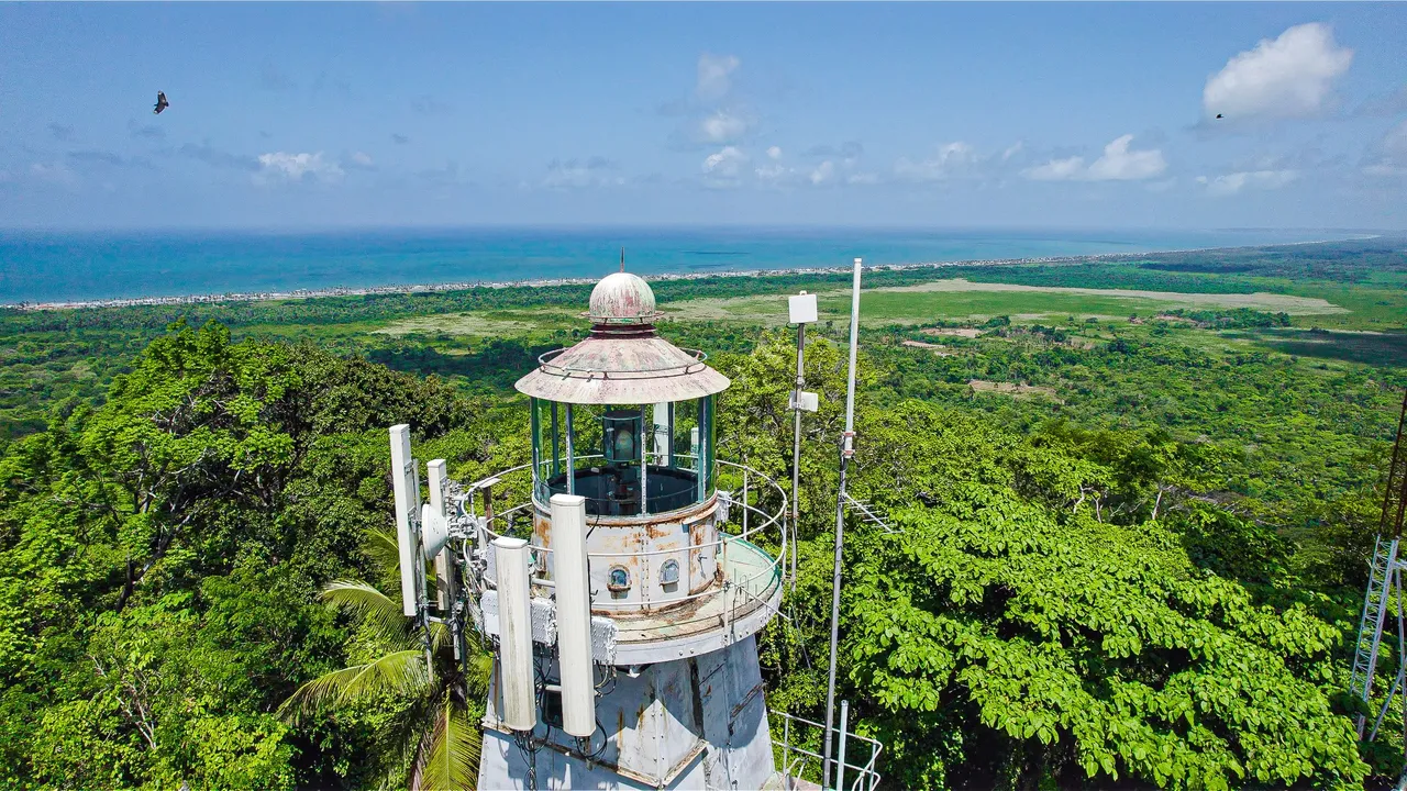
The lighthouse itself seemed to be unkempt in terms of aesthetic upkeep and was well weathered by the sea blast, evident by rust. It was definitely a relatively aged structure that caused a bit of dissociation as there were a lot of modern infrastructure attached to it like antennae and other telecommunication devices.
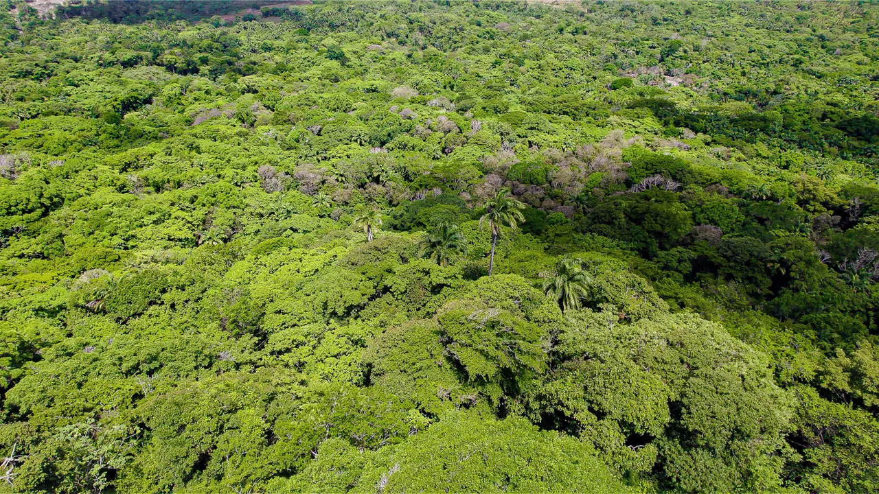
This is what the forest looked like down below from the hill. Can you imagine how the indigenous and maroon inhabitants would have lived? It's so interesting that such environments were used as a refuge during colonial times by the escaped enslaved and used as an area of successful advantage against colonial powers!
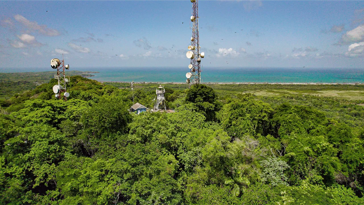
The hill and lighthouse still stands sentinel over the mid east coast serving its purpose for navigation but also now hosting Telecommunication infrastructure. With its history of being a refuge for those escaping enslavement and later on, another sort of refuge from marine hazards, Brigand hill is certainly an enthralling and captivating location, especially with its panoramic views and rich history.