Yesterday you read how we two friends reached Khobi on foot from Solang Valley which is the base camp of Mount Patalsu Peak. Khobi is situated at 3450 meters whereas Patalsu Peak is situated at an altitude of 4250 meters. The journey from Khobi to Mount Patalsu Summit was not at all difficult, neither snow fell nor there was any obstruction. Trekking after a very long time, I felt very less stamina in my legs and the clouds forced me to shiver with cold.


In the word Patalsu, Patal means underworld and Soo means fire, it literally means the god of fire and underworld. The people of Solang village consider this mountain as a god and worship it and get blessings. Solang village is situated at the feet of this mountain and the Beas river also flows washing the feet of this mountain. Locals say that landslides never occur in this part of the mountain due to Patalsu mountain.

At Khobi we meet two event participants who are going to summit Patalsu. They give us two apples to eat which we eat without hesitation. There is no source of water after Solang village on this mountain and by now both of us have drunk more than half of the one litre of water. I am worried about water, flying clouds and rain which can happen anytime.
We leave Khobi (3450m) at around 1 pm. While walking I tell all three of us that the next 2-3 km should take us a maximum of 3 hours. That means we will be at the summit by 4 pm and it will take us another 4 hours to descend. So according to this we will reach our hotel at 8 pm. Hearing my calculations all three of them go into shock. Seeing their sad faces I tell them to walk a little faster so that we can descend before sunset.


We have just covered half a kilometer and the effect of altitude is visible on everyone, breathing and heart rate are racing like horses, cold air is not making us feel hot but we are feeling thirsty again and again due to which the water in the bottle is slowly getting over. We finish the first kilometer before 2 o'clock and sit down and eat the chocolates we had brought with us so that we get some energy for the summit.

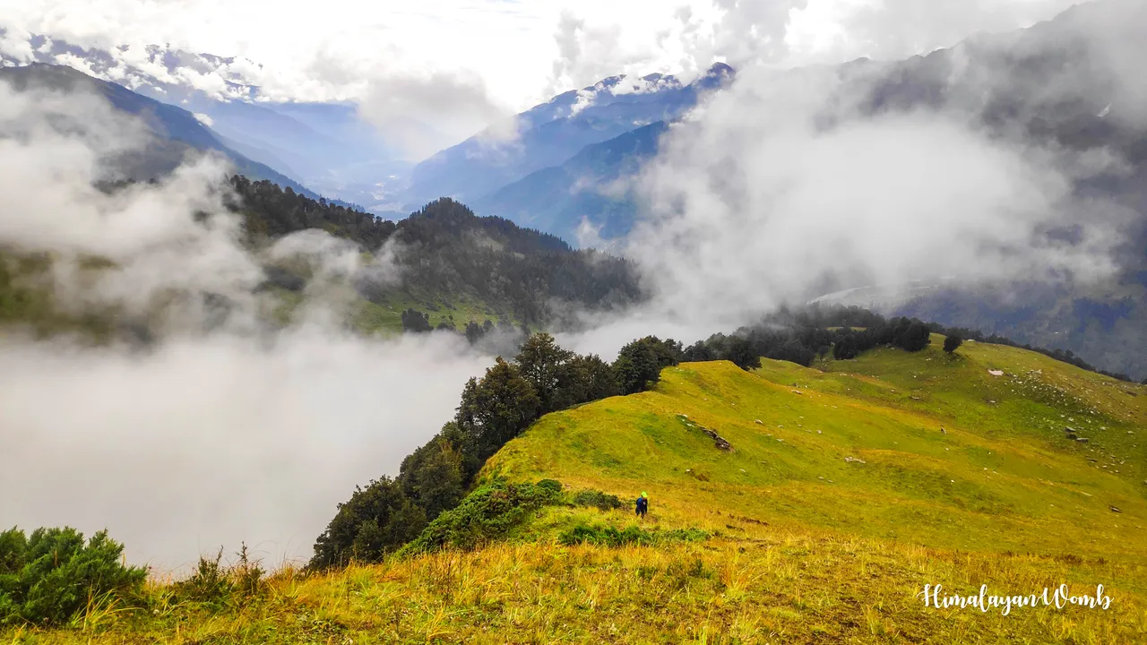
We have reached one and a half kilometer from Khobi and two of our companions have stopped, both are having difficulty in breathing and are feeling sleepy while walking. I tell them to stop and give them water and chocolates from my bag and tell them that you guys wait here, I will come after the summit. The summit was just one kilometer away from here. Now I and one runner are with me and we are walking among the clouds towards the summit.


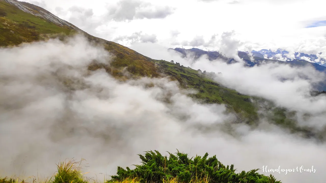
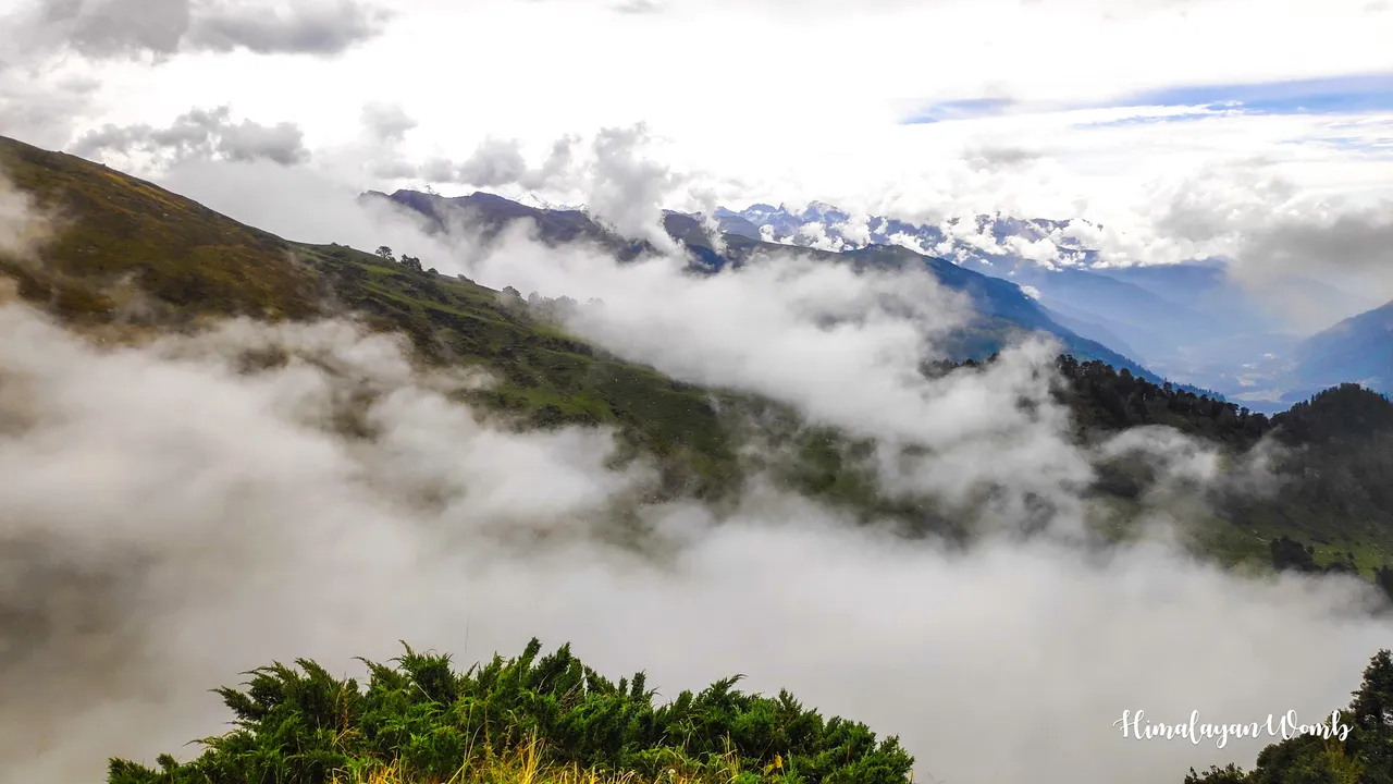
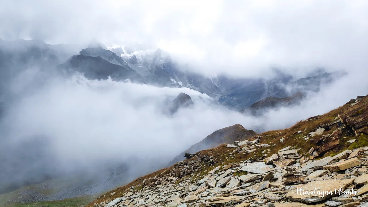
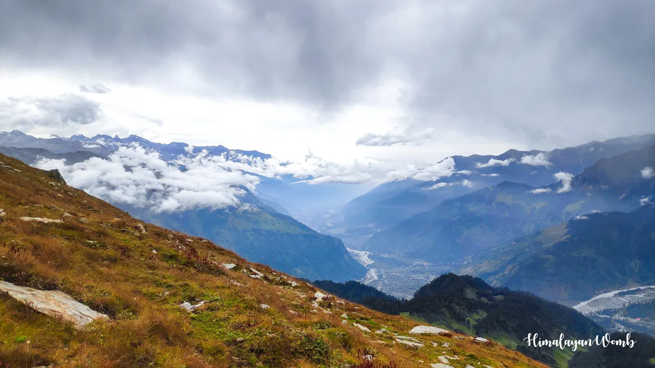
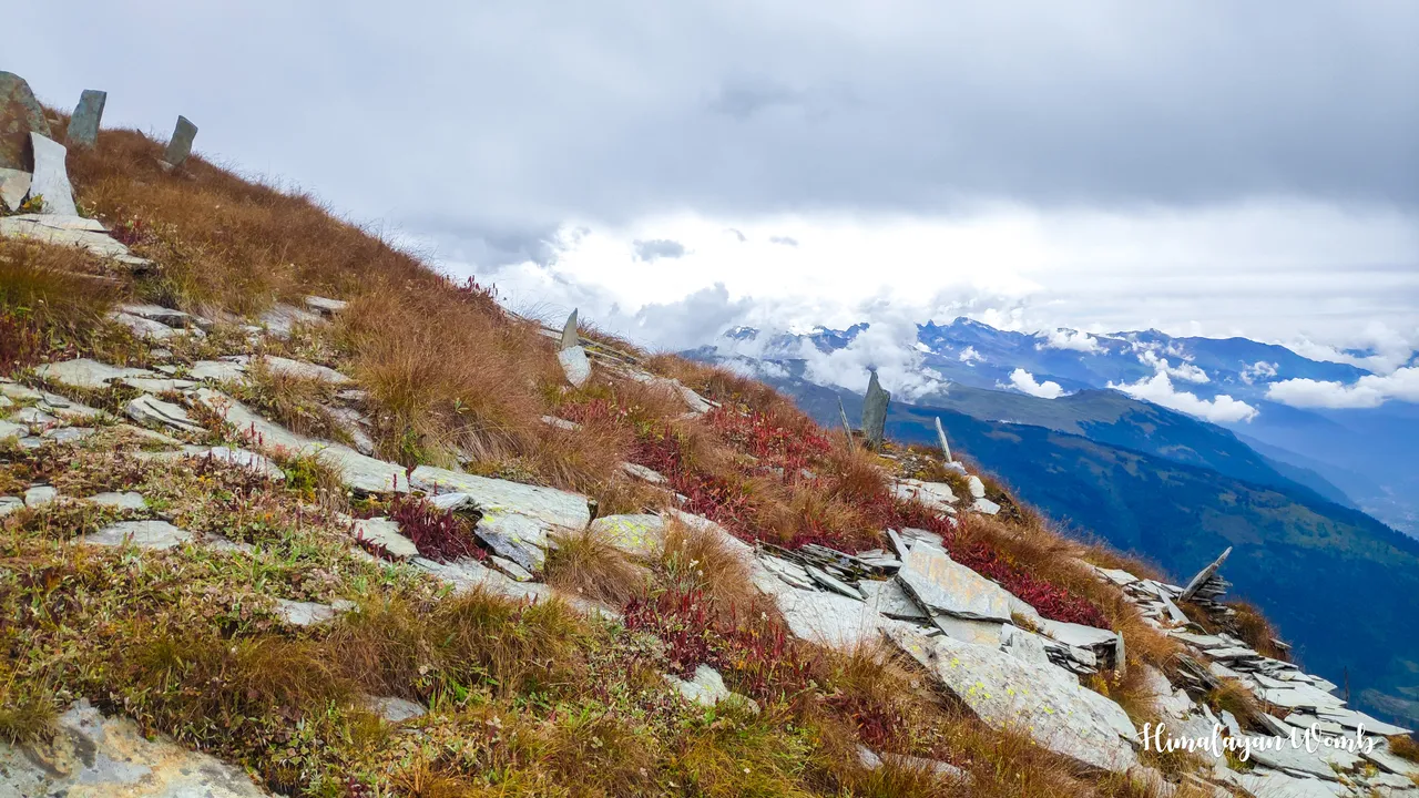
After about 500 meters the runner also stops and I advise him to reach down after the other two, which he happily accepts. This place is above the tree line, clouds are flying here as if there is a factory here from where new clouds are being exported. Due to the height, the green grass has burnt and due to the clouds, the 6000 meter high mountains are not visible at all. The angle of climbing is 45%, one has to use hands while walking.
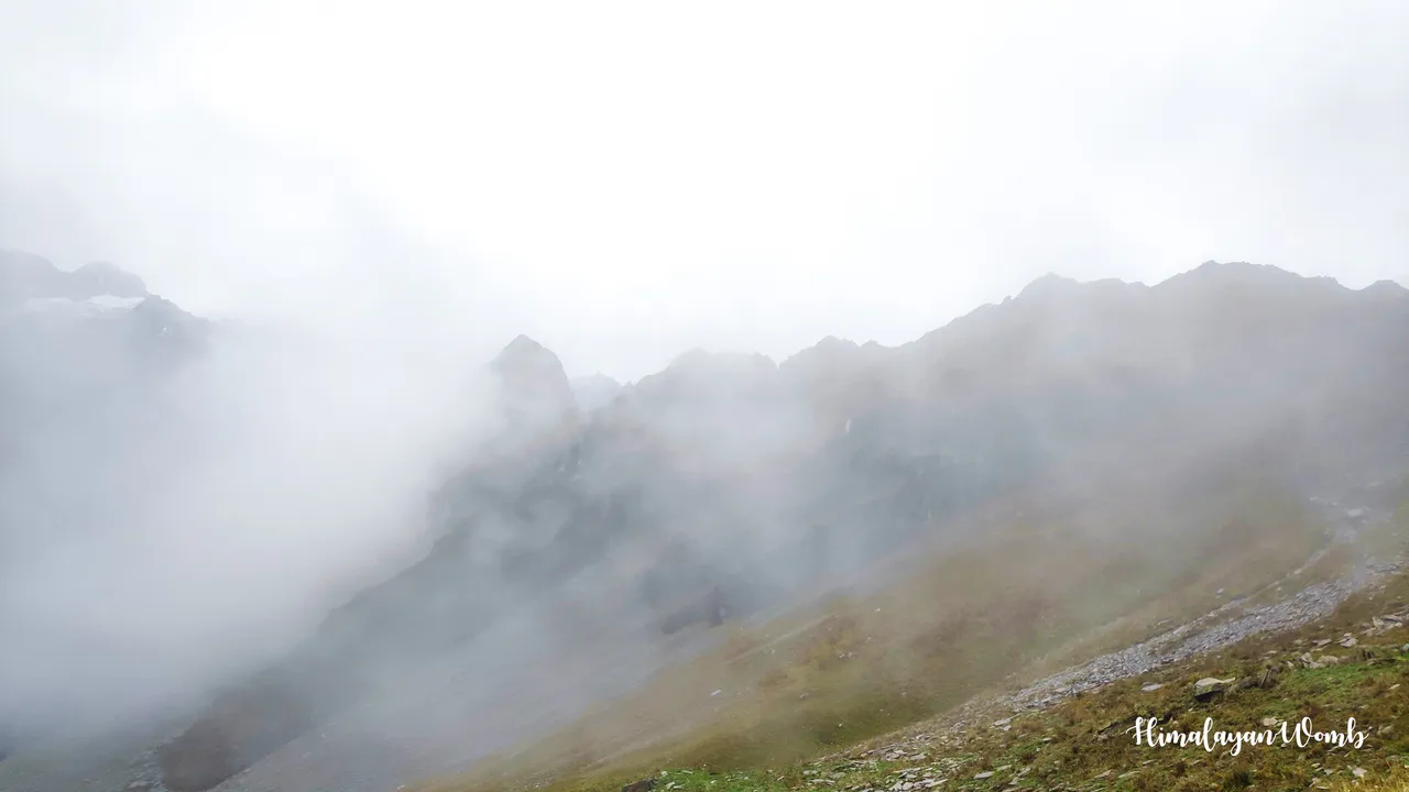
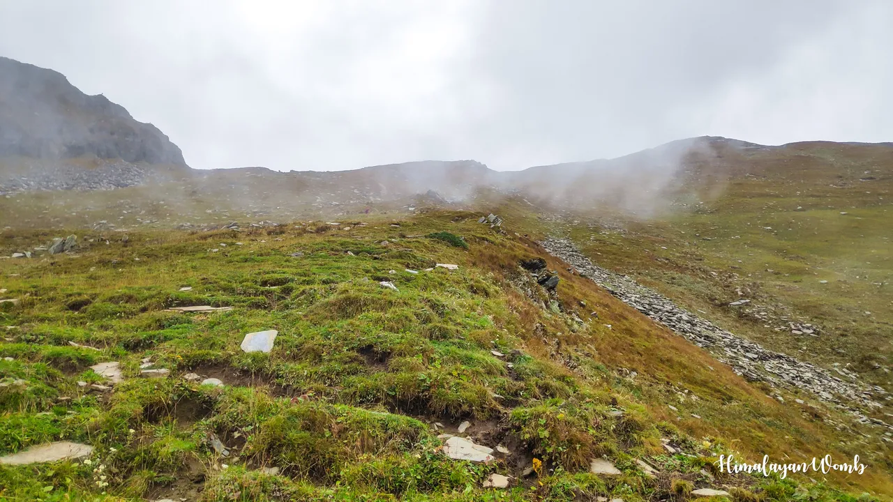
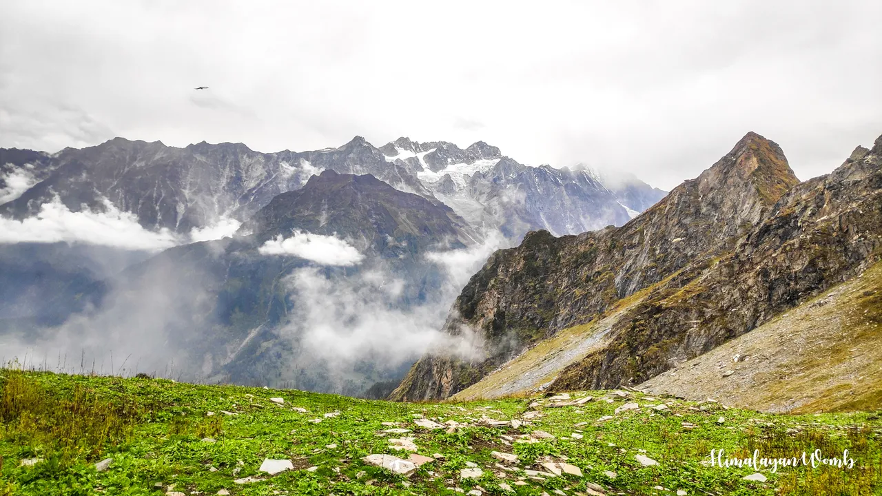
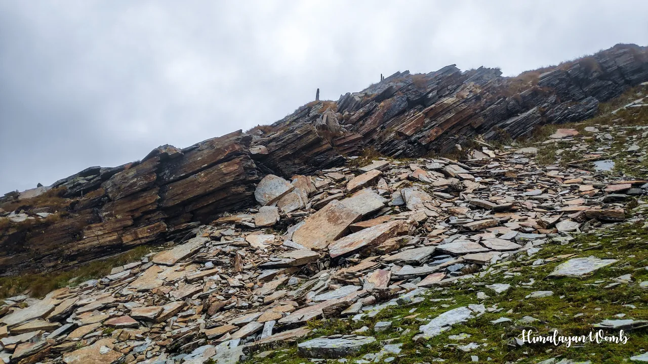
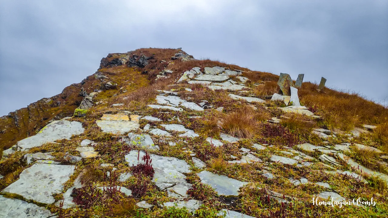
Now the grass is ending on the way and the stones that have slid from the top have started, there are big boulders here and small stones are spread before the top. I have escaped falling many times while walking on these stones, there is no fixed path here, I can just see the top at a distance towards which I am moving at my speed. After 4000 meters, my breathing is not controlled even when I stop, but I have gone up to 6240 meters before, so I am not going to give up and stop at this height.

The patalsu peak summit (13944 feet)
Taking a few more steps with a deep breath I step on the top of Mount Patalsu Peak. I have been to this peak before and I had summited this peak in alpine style, I had done Solang to Summit and Summit to Solang in 03:26 hours. There is a huge difference in fitness between then and now. This time due to work I could not focus on my fitness. The result of which is that it took 06:15 hours to reach the summit in just 7 km.
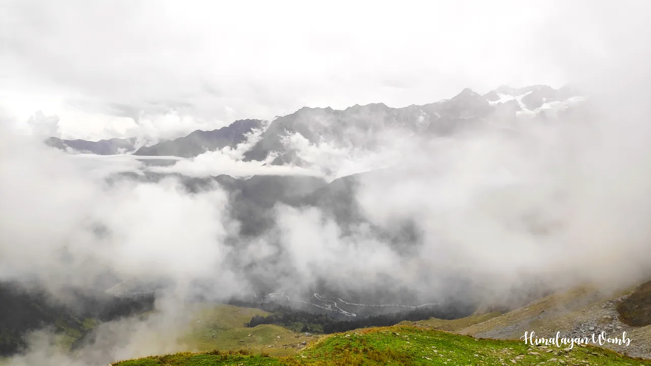
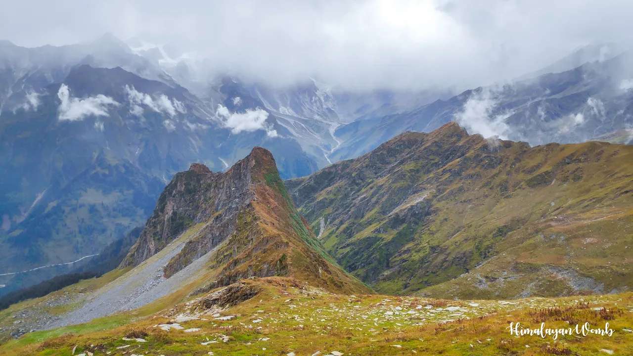
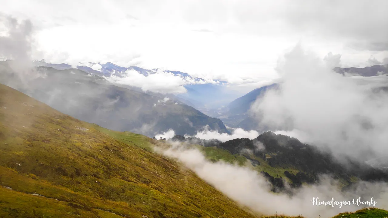
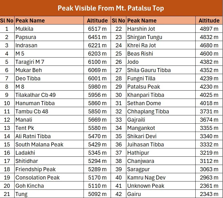
When looking from the top I cannot see anything on the mountains located nearby and far away, if there are no clouds then 42 peaks are visible from here, the main ones being mulkila, papsura, indrasan, dev tibba, mukar bah, shikar bah and hanuman tibba. The height of all these peaks is more than 6000 meters. The coordinates of Patalsu top are 32.35174°N, 77.18830°E. I was disappointed after reaching the top because I could not see any view. I promise Patalsu that I will come fit next time and I need clear weather from the top so that I can see all the mountain peaks.

That's all for today's post, tomorrow I will tell you how I met my companions on the way and then how we all reached down and how much time it took to reach down. See you in the next post, till then take care of yourself and keep loving the mountains.
Disclaimer: This post is originally written in Hindi and I have used Google Translator to translate the Hindi text in English. All the photos have been clicked by me from POCO F1 android smartphone and edited in deskstop software adobe lightroom. Thumbnail created on online website canva.