This was our last full day in Iceland during the last year's trip there. On that day we didn't have anything particular planned. Sure thing was that I wanted to have one more hike done on this day. I searched the app called Alltrails which has a ton of trails that people have recorded so I tried to choose one from there and found this Nesjavellir trail in southwestern part of the country that looked interesting to me. I don't remember exactly how long it was but something like 6 or 7 kilometers.
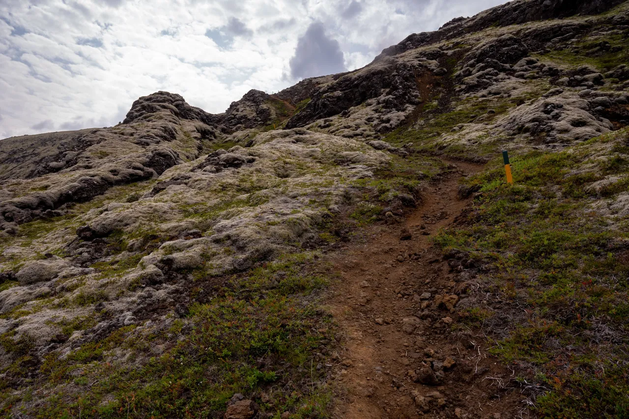
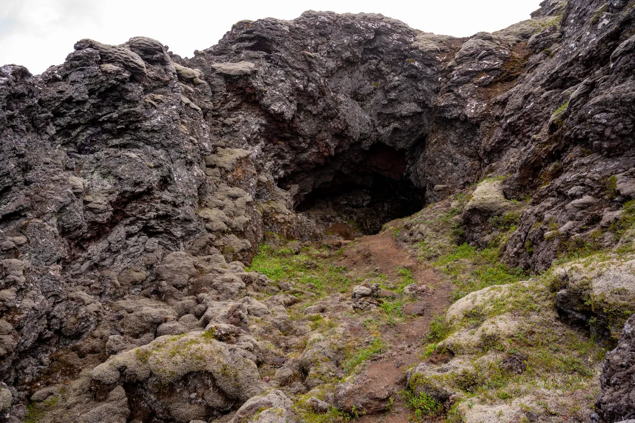
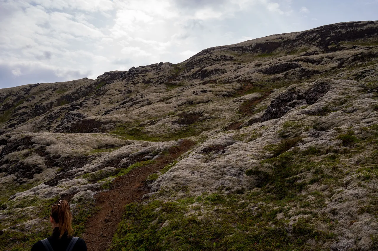
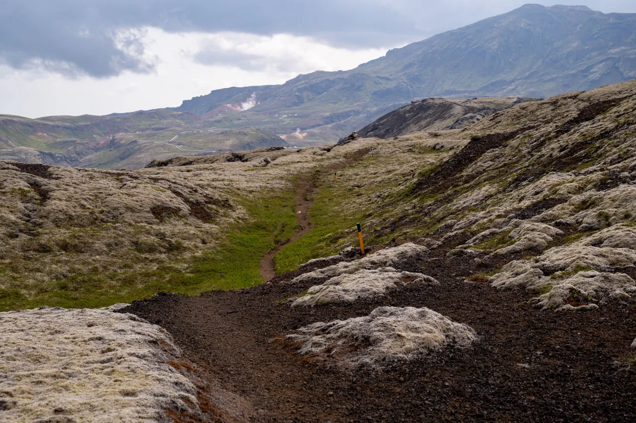
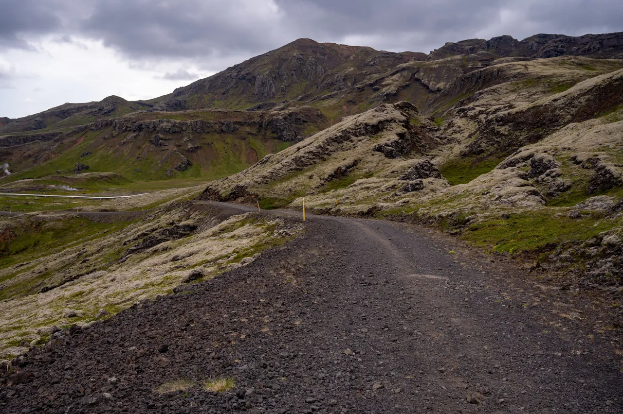
This is the beginning of the trail. Starting with a climb up the older solidified lava flows.
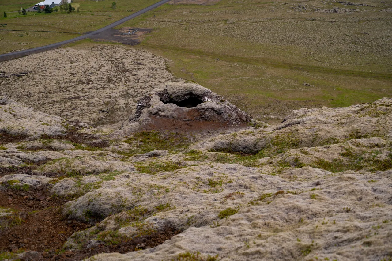
Soon I found this formation which looks like a small crater/cone that the eruption has formed. I wish I knew how old it is but I don't. My wild guess is 2-8 thousand years old.
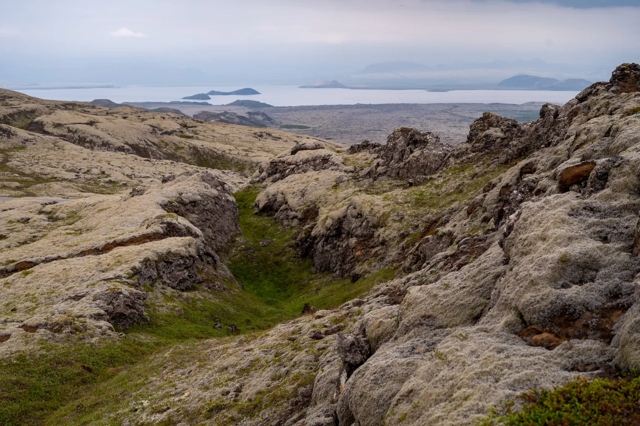
Here you can see another cone/hole that is also a spot where the eruption happened. It looks like all the cones appeared in the same eruption when a longer fissure opened up. I enjoy seeing geologic features like this and try to make sense of these appearances in my head.
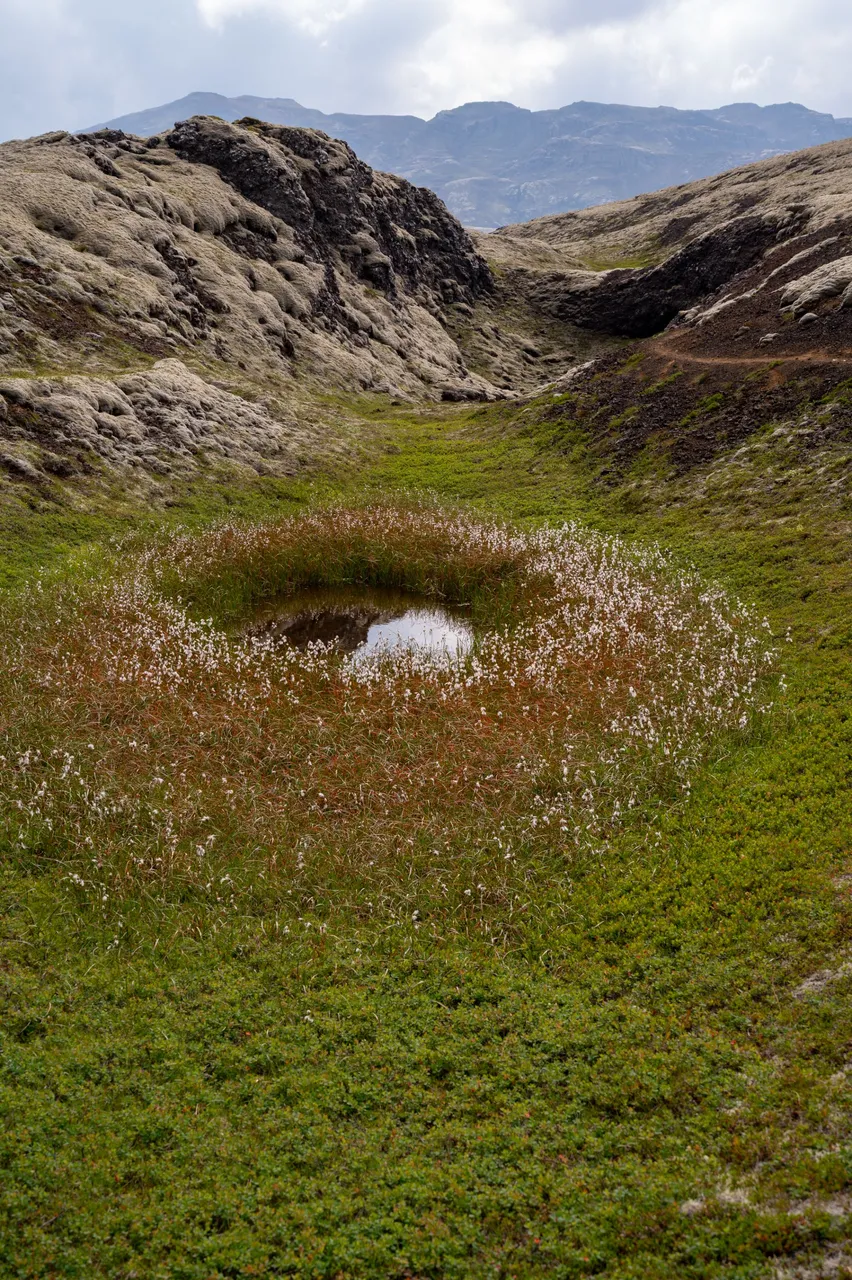
A very small pond next to the trail, between lava hills.
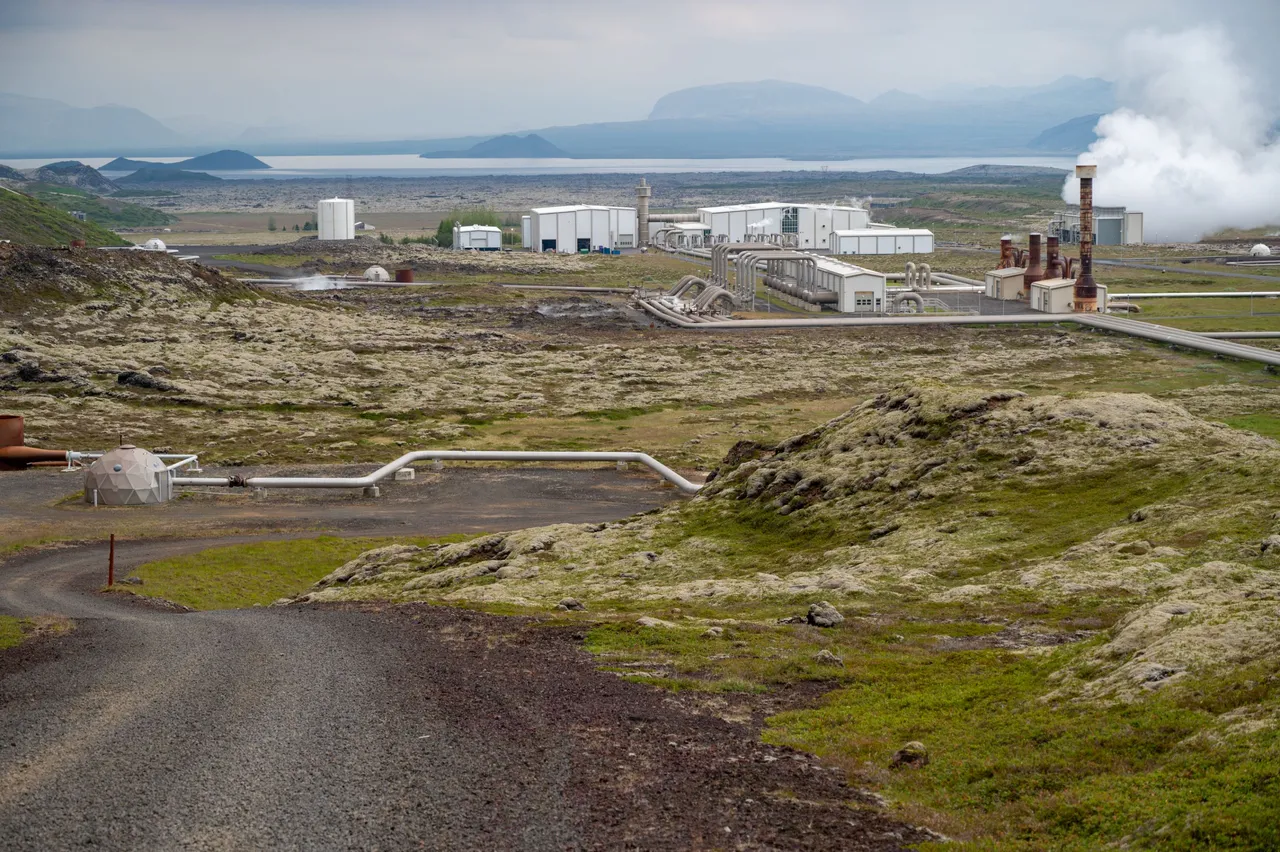
What you can see here is a Nesjavallavirkjun. It's a geothermal power plant. Iceland uses almost fully clean energy from the ground they can gather. There are so many geothermally active areas in the country they can farm for resources and this is one of these.
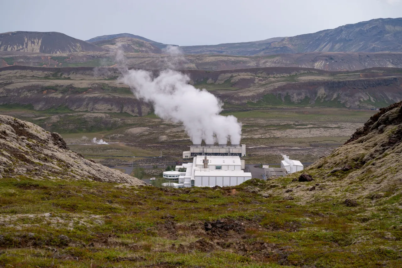
At the back, you can see Thingvellir Lake, Iceland's largest lake.
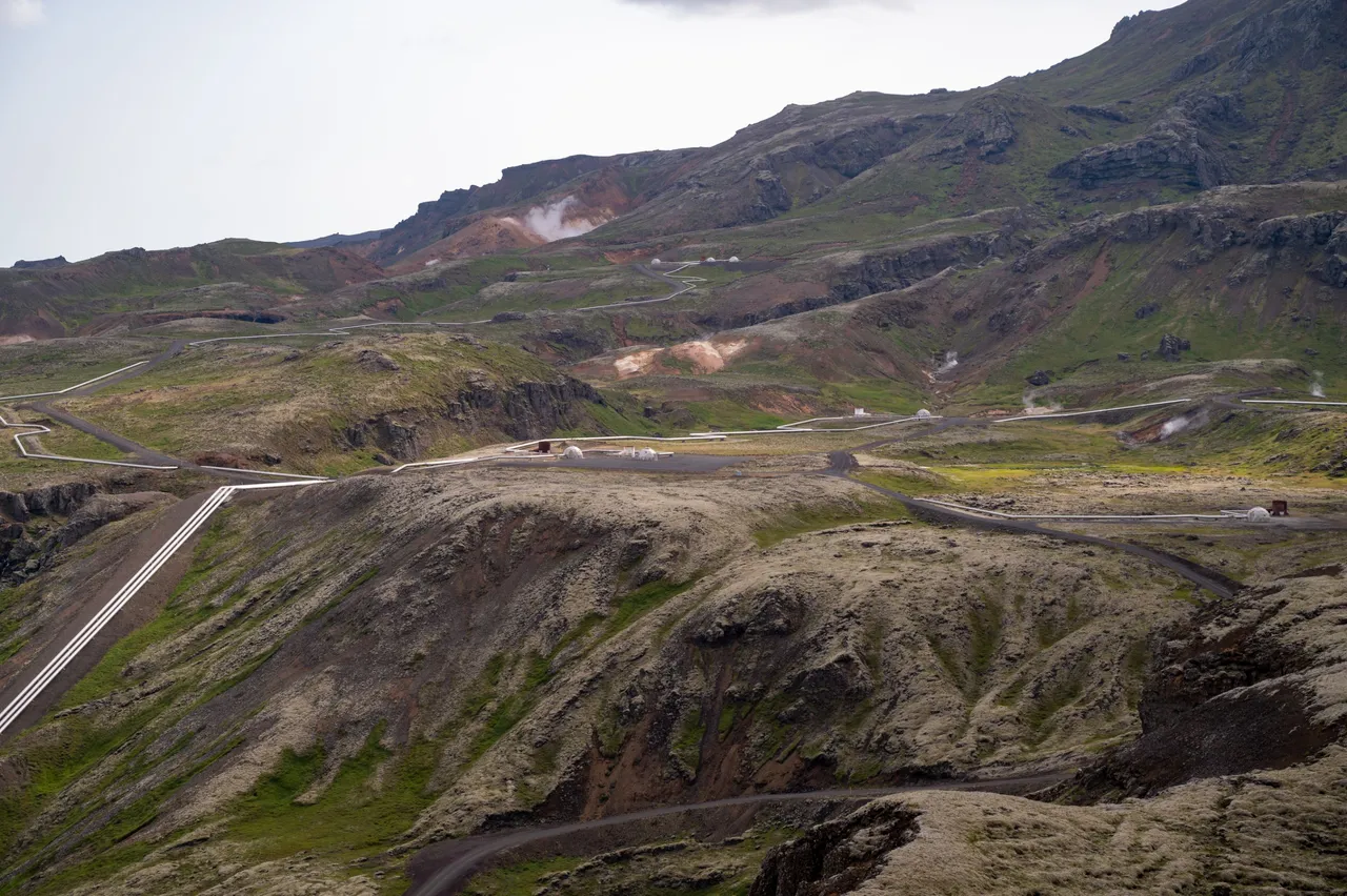
A great top-down view of the geothermal power plant structures, pretty cool.
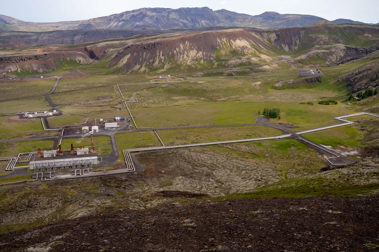
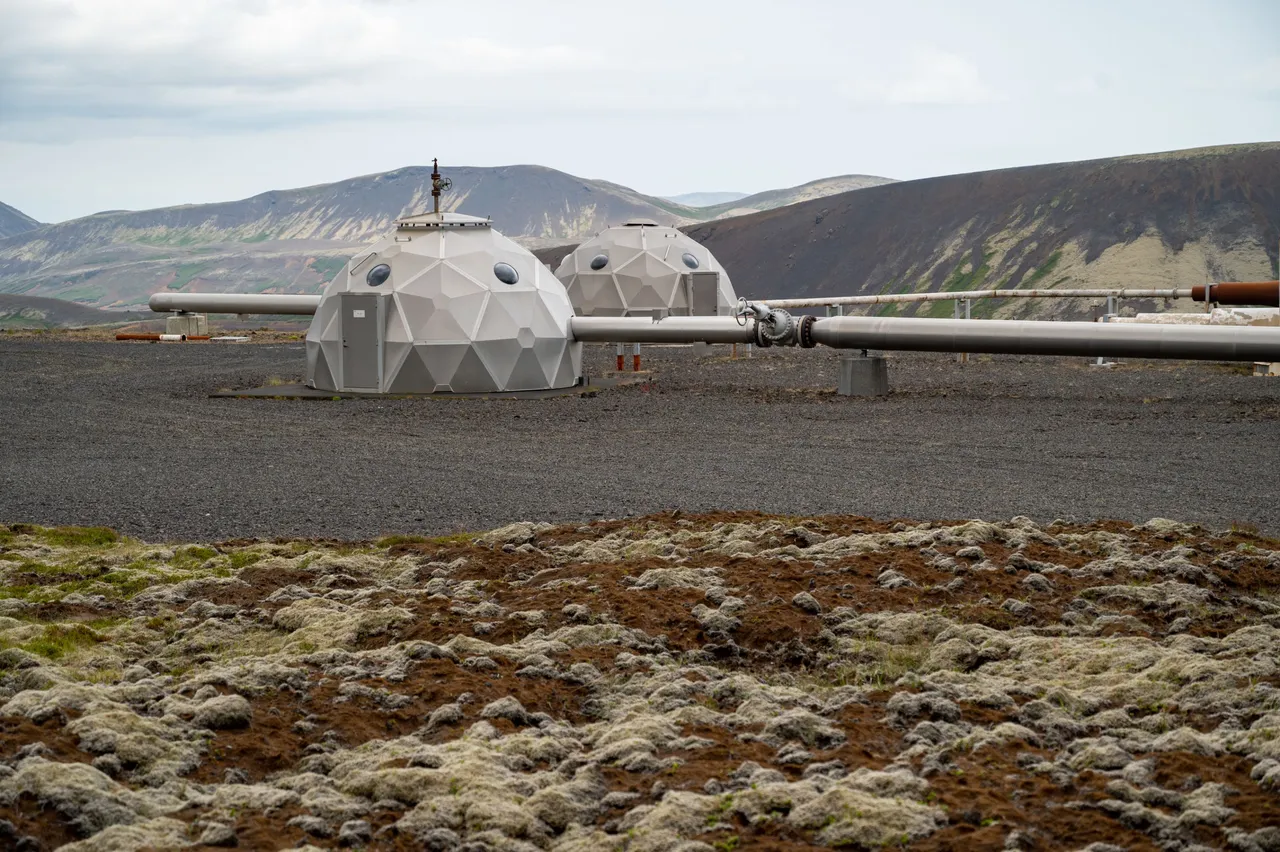
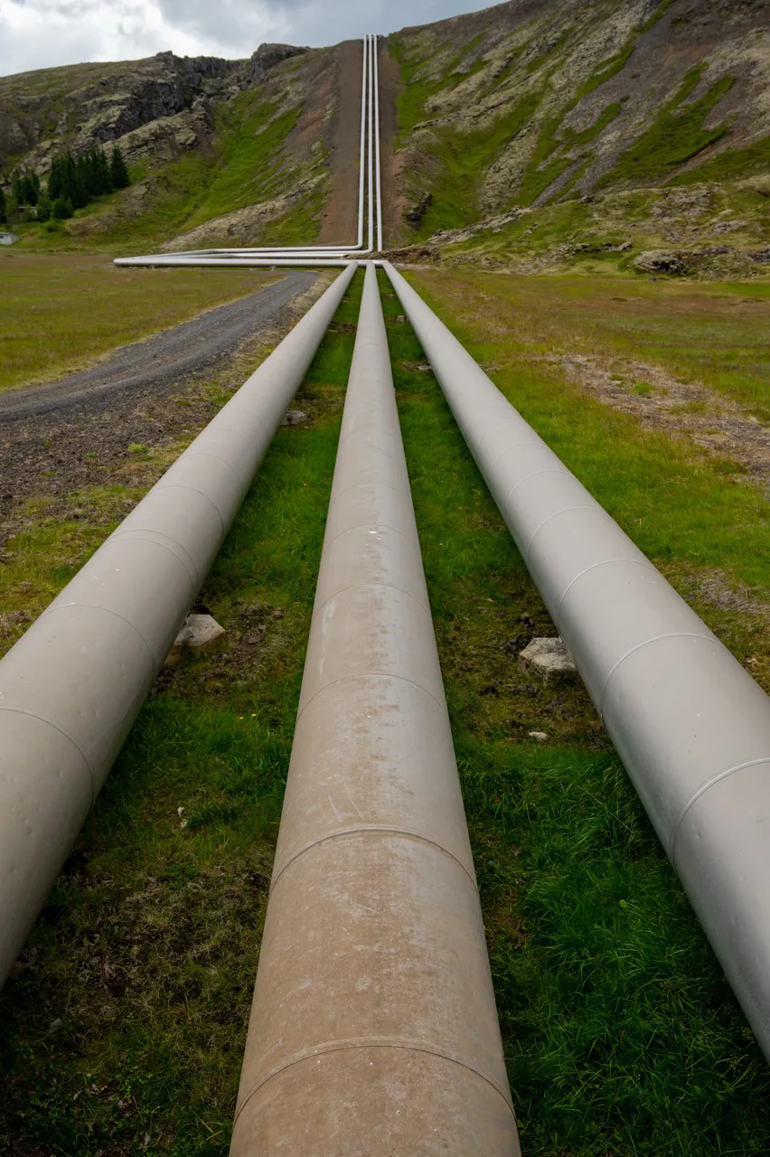
Here on the mountainside, you can also see many pipes and structures. These are boreholes that are dug underground. The pipes lead steam and hot water to the power plant.
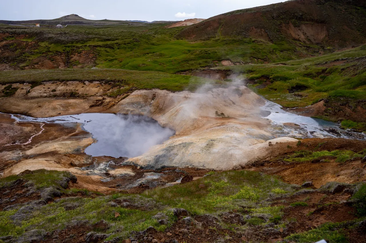
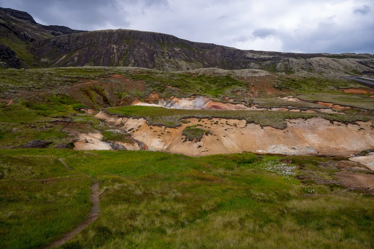
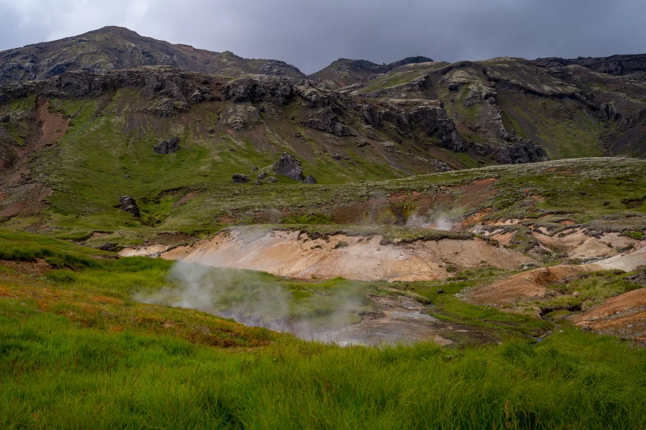
Soon we arrived at a colorful landscape. Sulfur comes out of the ground there and creates these colors when mixing with air. There are also several hot pools, I mean very hot pools. Temperatures are hundred degrees in some places so it's a very bad idea to touch the water there.

Here you can see a borehole structure close up.
After that our path took us down the hills and we walked through the geothermal powerplant itself. Here are a couple of views of the area. It was really cool to see this close.
I'm glad I found this trail from the Alltrails app because there was a lot of interesting stuff to see. All the older lava flows, eruption cones, and the geothermal power plant itself. It's an unknown trail no one really hikes it, I can only imagine that some locals do. Can't imagine that tourists randomly stumble there. I have traveled to Iceland many times already and I have time to visit unknown/random places like this. I didn't see any other people there while we were on the trail.