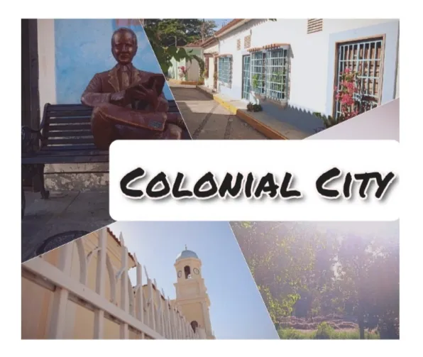

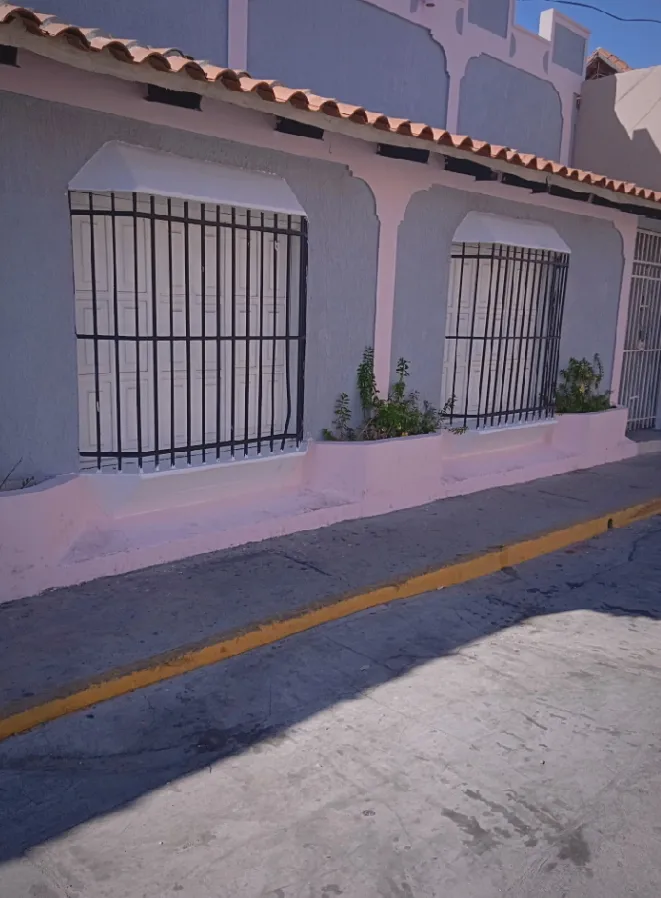
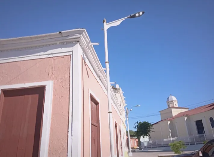
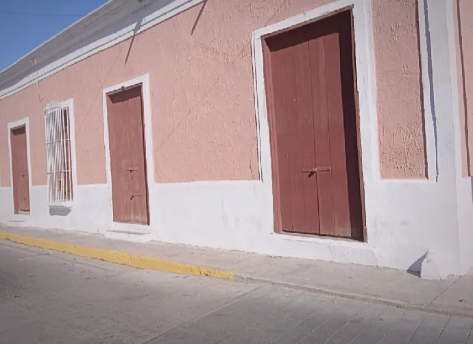
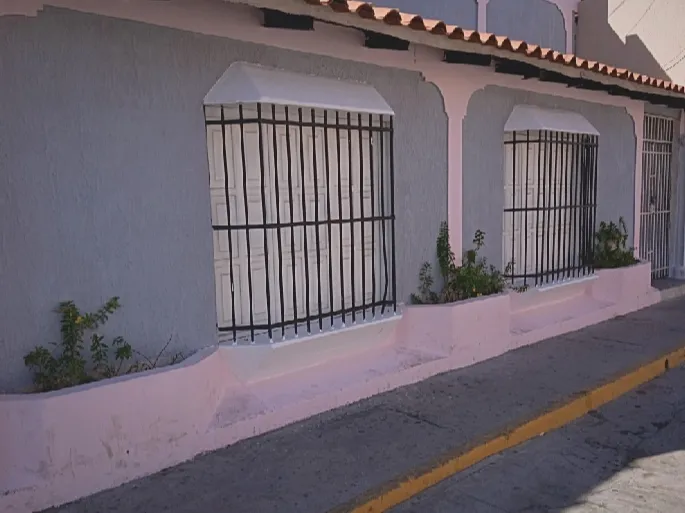
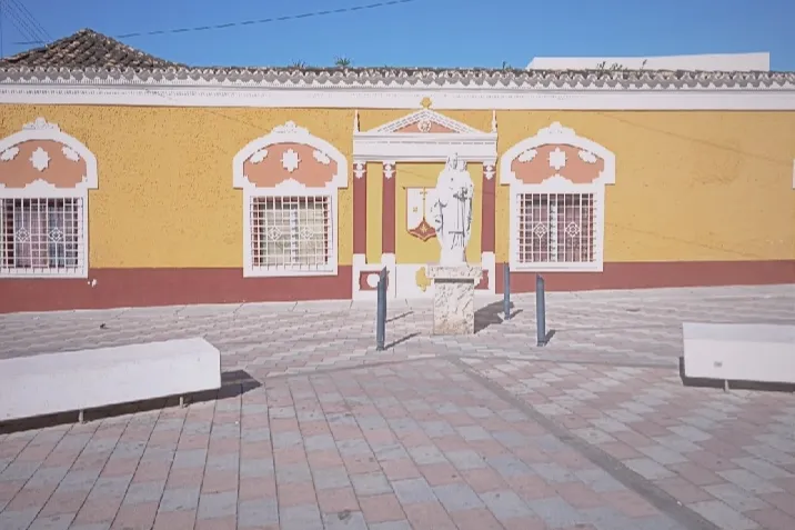
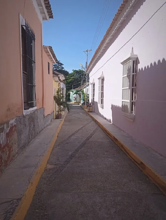
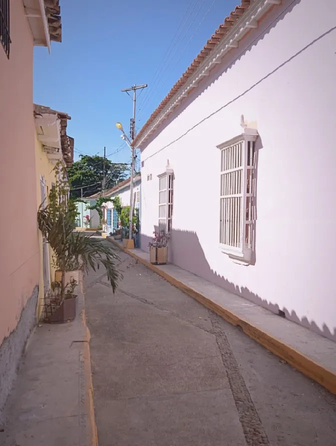
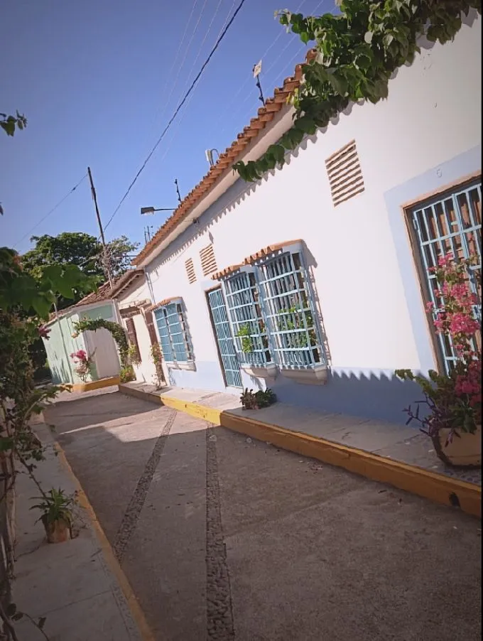
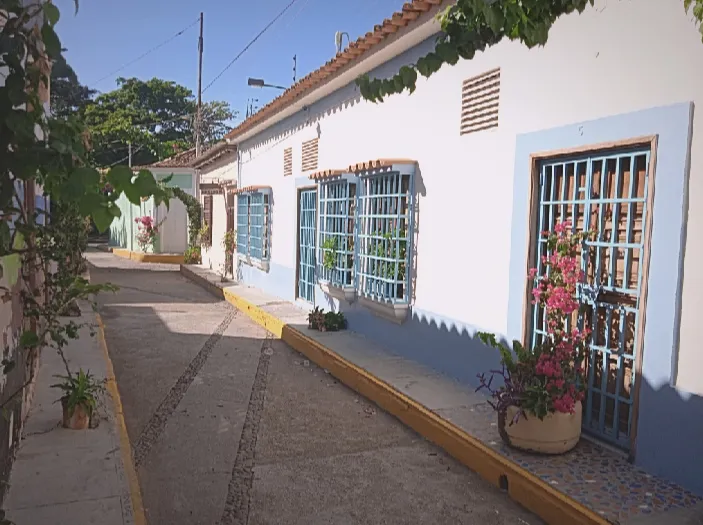
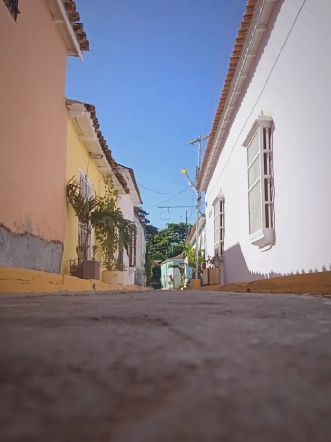
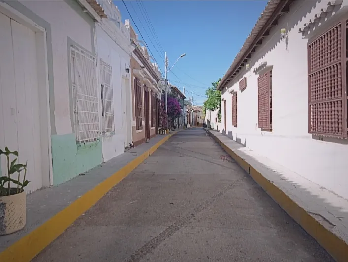
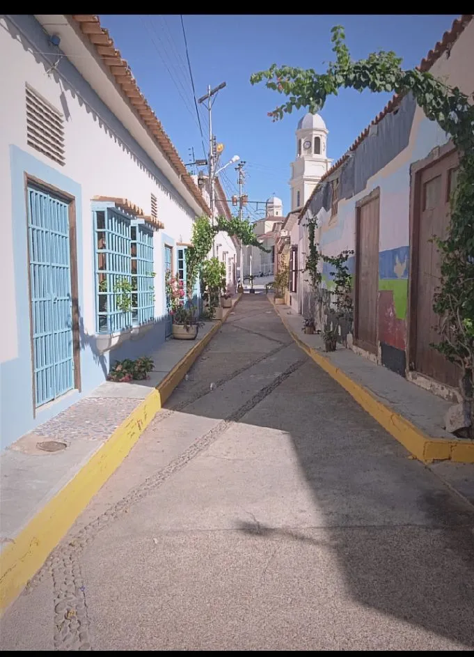
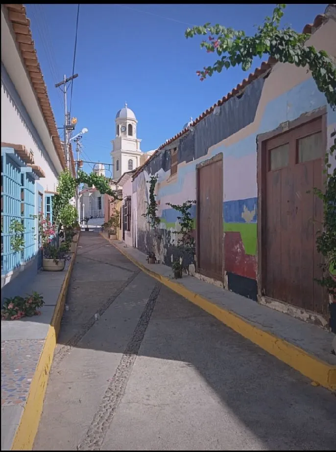
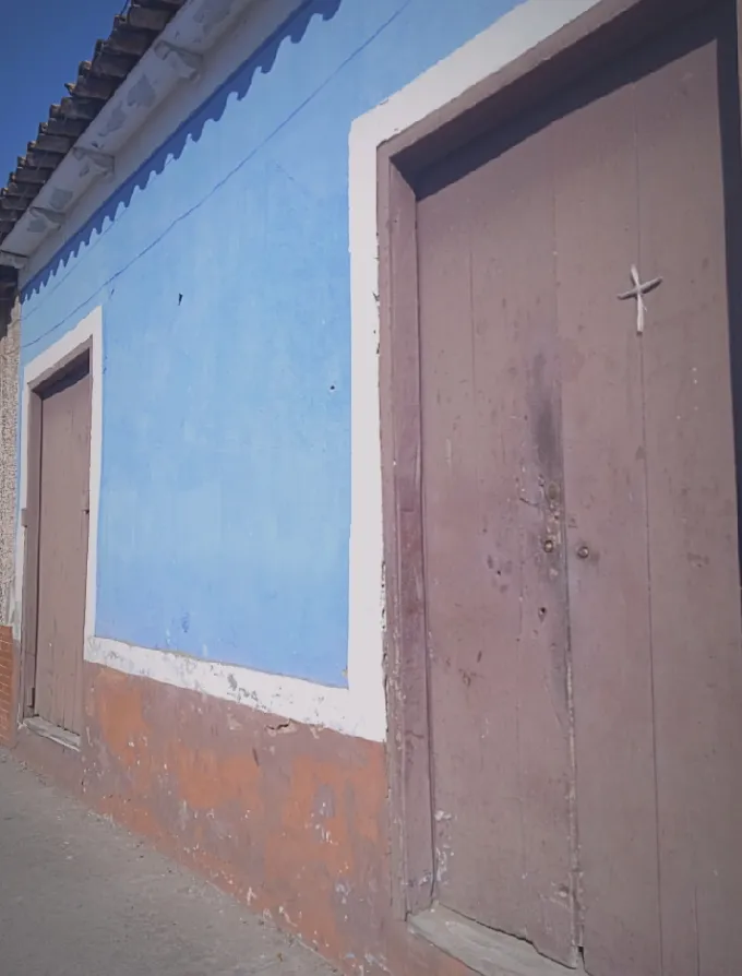
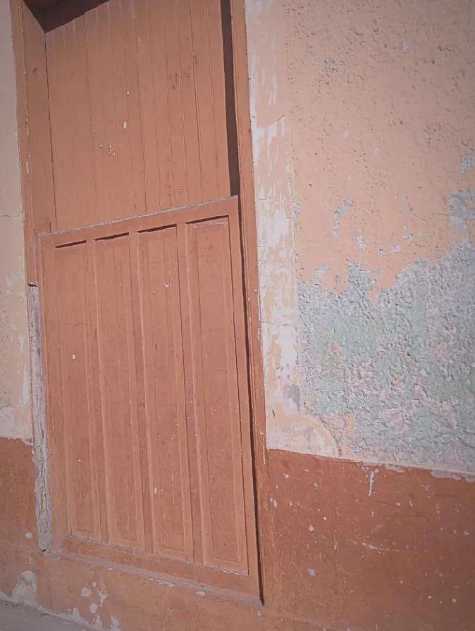
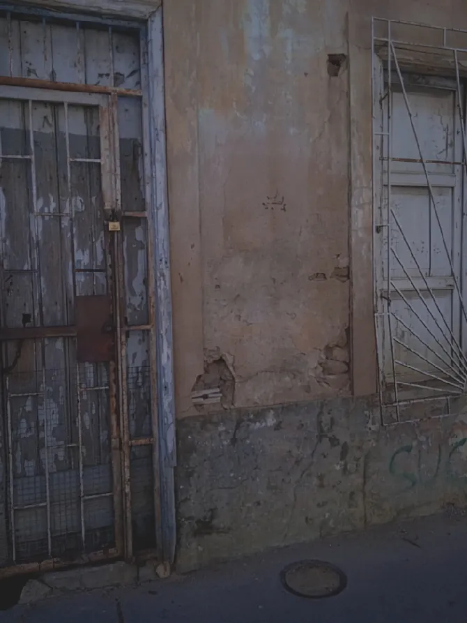
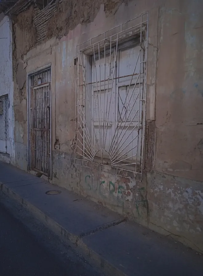
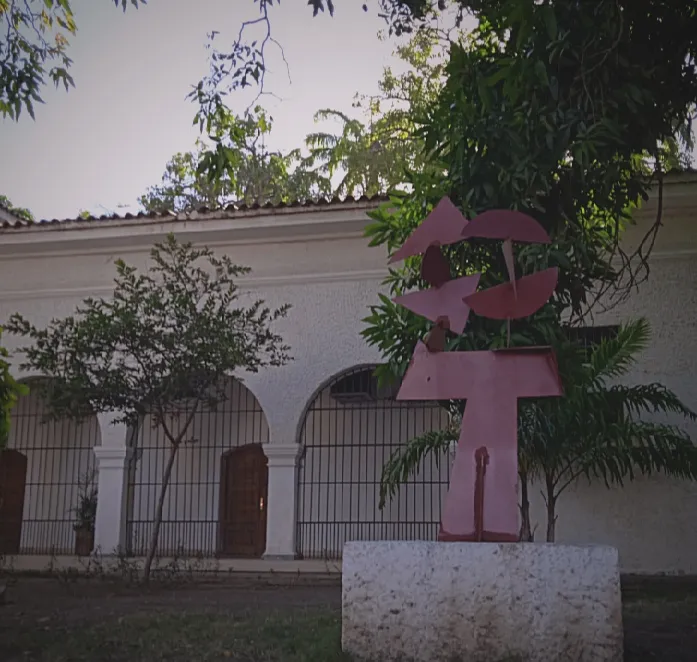
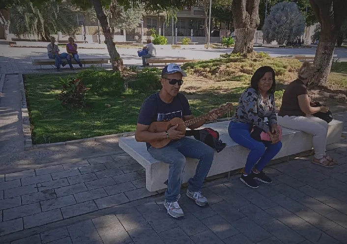
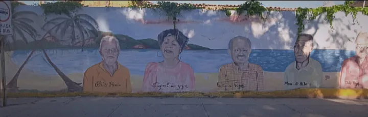
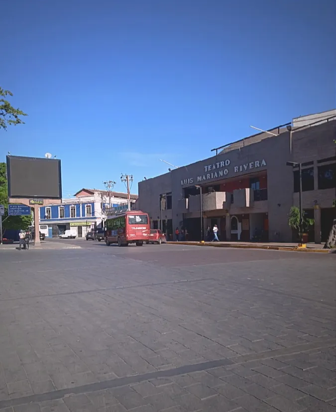
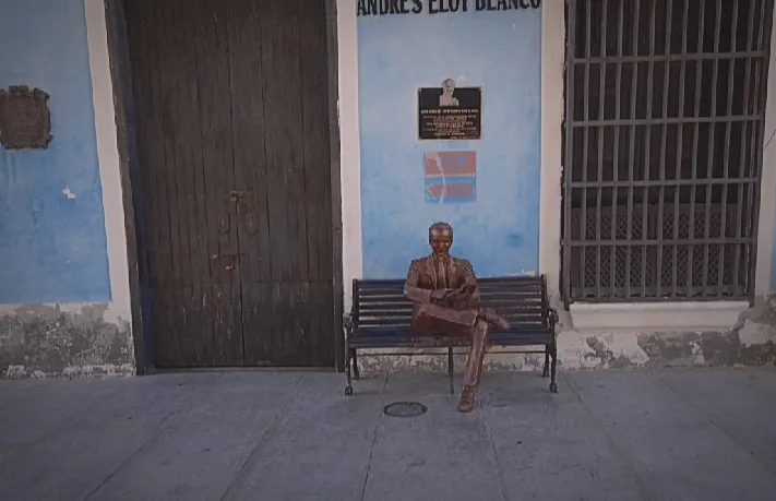
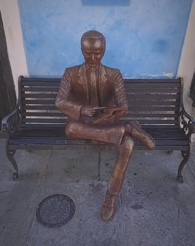
Hello beautiful people, how are you, I hope you all had an excellent day. From the land of the liberators, fishing and old and colonial houses, I present this photographic series of the historic center of the city of Cumaná (Venezuela). What you will see below is a tour through the center of the city, where at the height are these ancient spaces of more than 500 years.
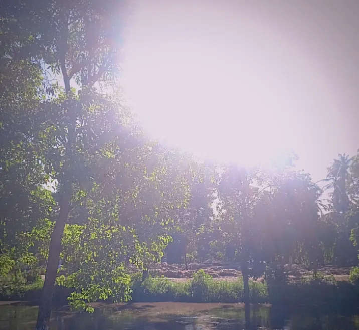
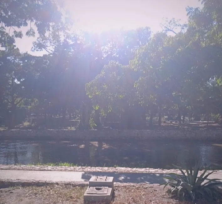
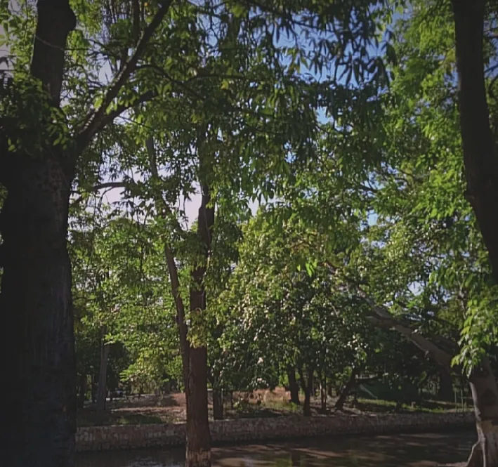
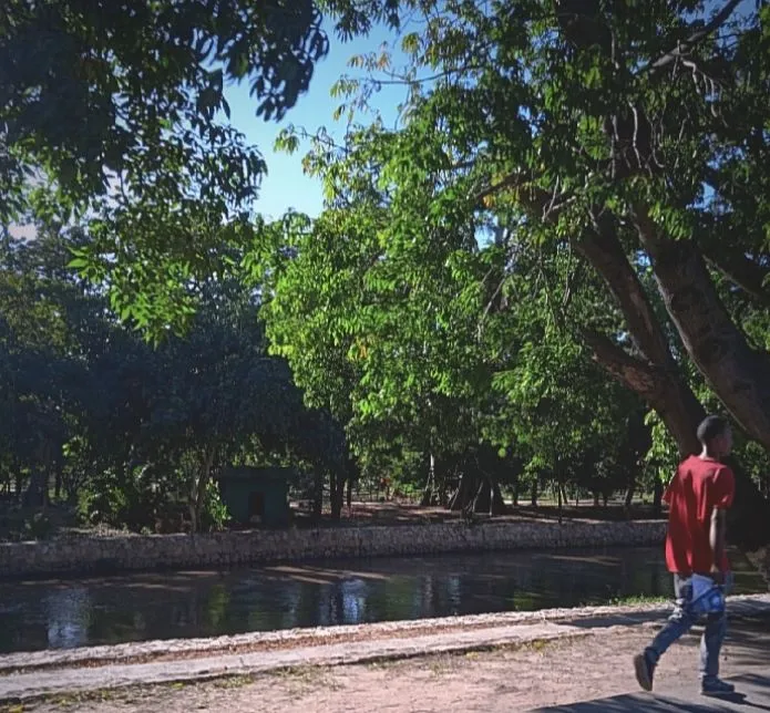
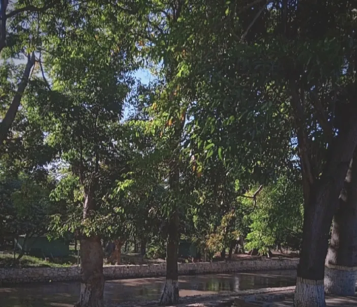
Within this city we have a river called Manzanare, name given to it by the Spanish colonizers of the time. It rises in the Serranía del Turimiquira, at 2,200 m above sea level, and after 80 km, draining a basin of about 1,000 km², it flows into the Gulf of Cariaco, in the Caribbean Sea. The river crosses the city of Cumaná from south to north and is a historical landmark because it was the closest source of fresh water to Nueva Cádiz (Cubagua Island) and the reason for the first stable settlement of Spaniards in America.
The origin of the name Manzanare is due to the fact that the Spanish conquistadors of Cumaná decided to name it after the river that runs through Madrid, the capital of Spain.
The current population is 374,706 inhabitants, which together with the inhabitants of the neighboring towns of El Peñón, Cantarrana (Canta-rana), El Tacal, San Juan de Macarapan and other nearby towns form an urban area with a total population of 680,918 inhabitants, which make up the 598 km² metropolitan area of Cumaná. It is the capital of the state of Sucre and the center of the eastern region. Since July 3, 1591, the city has the independent title of city with the privilege of having a coat of arms.
The city of Cumana is also known as "The World Capital of Culture" and "The Venezuelan Athens".
With nothing more to add, enjoy this tour
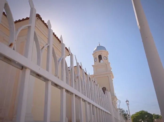
Santa Inés Church (the oldest in America).
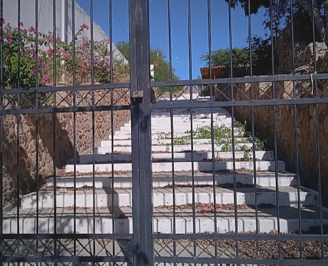
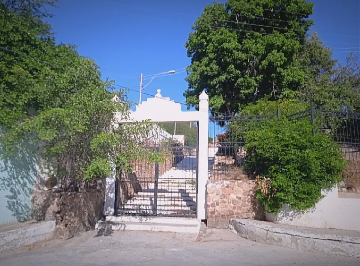
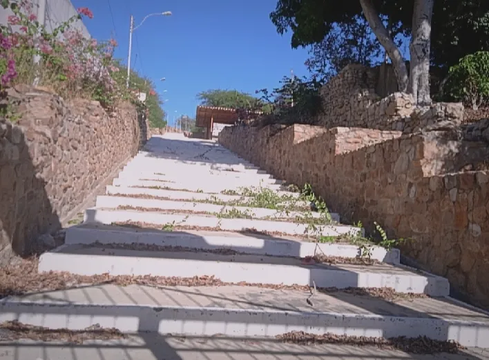
Entrance and stairs of the municipal cemetery.


**

Thank you very much for your attention!
Captured with Xiaomi Redmi9c phone, with an 8mp camera.