No NYC May Snowpocalypse Just Relatively Chilly
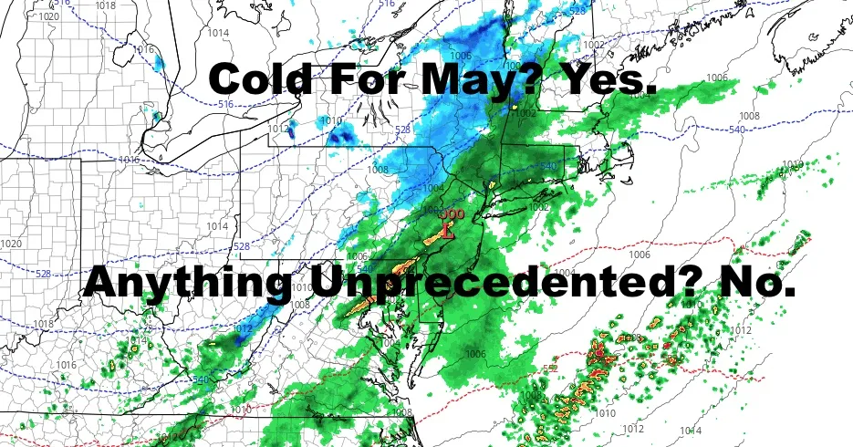
Good afternoon everyone. Once again I have to throw water on the social media and internet hysteria about things that are simply not happening. Record lows? No. Accumulating snow in NYC? No.
So what's happening? Yes, unseasonably chilly air is heading in as a new system arrives and developing low pressure scoots away. There will be cold enough air aloft to create some possible parting wet flakes or wet flakes mixed with snow briefly as everything ends, buts that's the extent of our armageddon.
SATELLITE
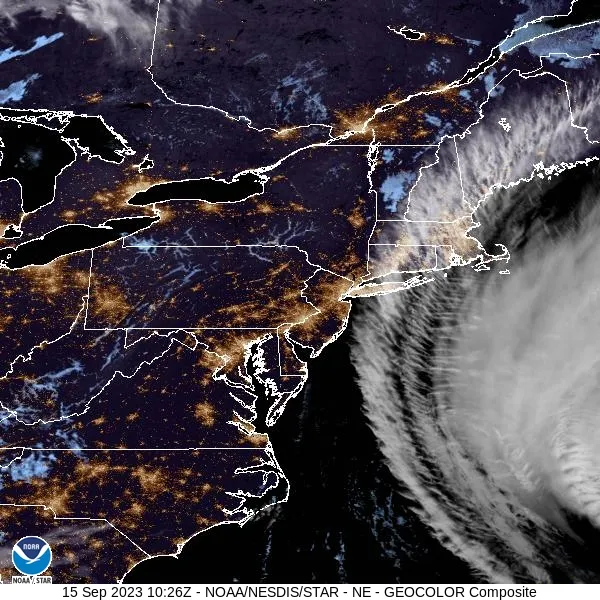
Light rain is beginning to creep in, and we'll have a cloudy and raw day with near 50 temps as highs. The record "low max" for today and tomorrow is around 44-46 degrees, so we are not near anything earth shattering.
Overnight, colder air heads in aloft as precipitation comes to an end. In high elevations upstate, you will see some light snow. Down here and in the reality of May, you could see some wet flakes or wet flakes mixed in with rain as things come to an end. Most of us will be asleep when or if it happens, and you won't be waking up to any accumulation. Lows will be in the upper 30's, and our record low overnight is 34; so again, nothing extraordinary going on here.
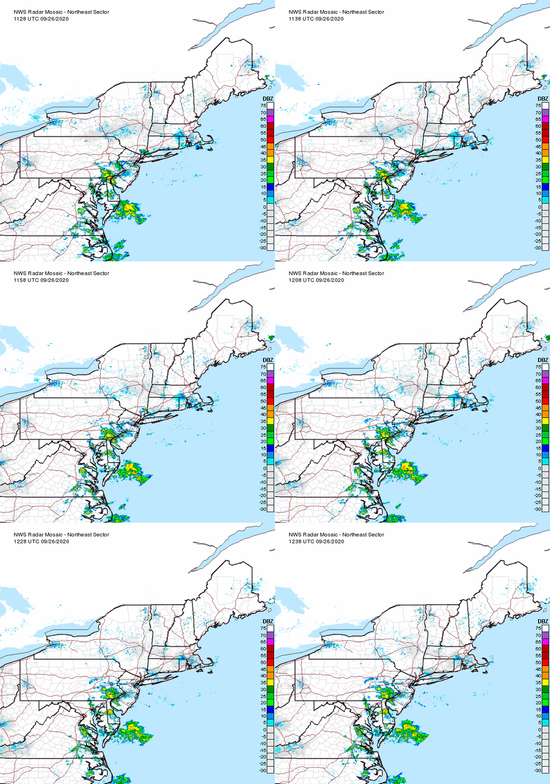
Things clear out tomorrow for a windy and chilly day with highs in the near 50 range again, then we recover into the low 60's Sunday with an ongoing breeze and sunshine.
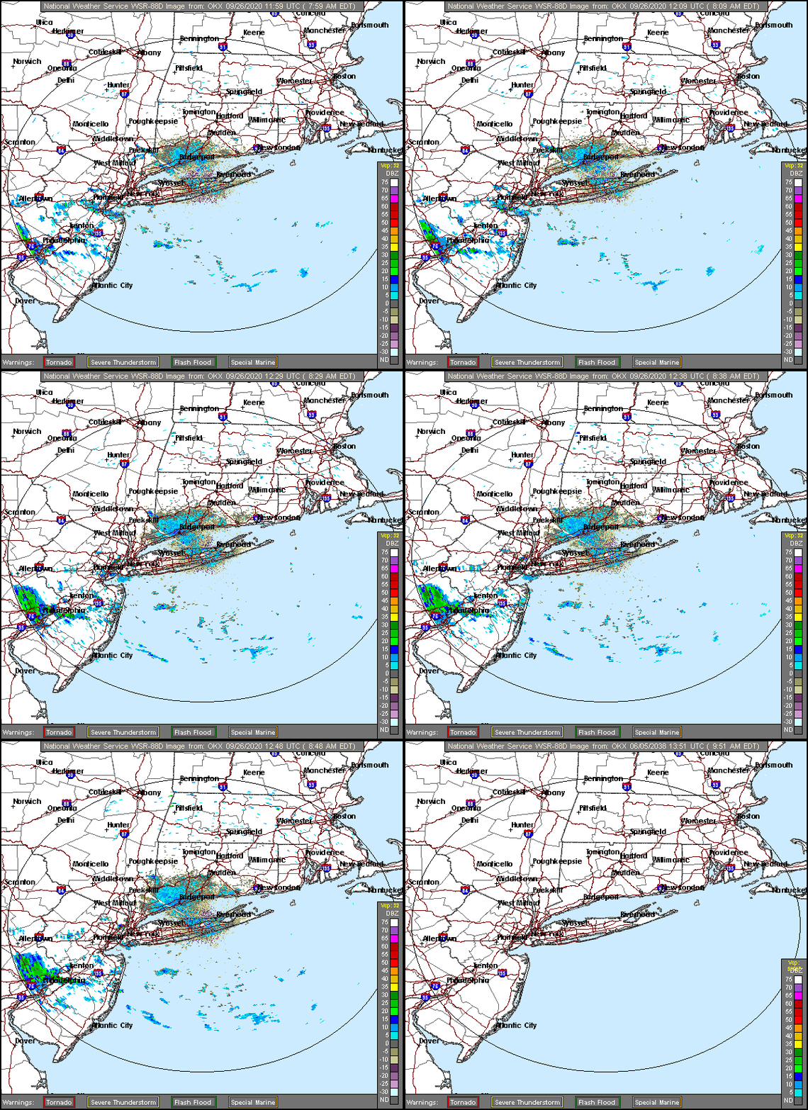
This week coming up looks like a transition week as we try and change up this pattern a little bit. Look for us to hover in the 60 degree range till Thursday, then we may see some milder air sneaking in for mid to late month.
Please note that with regards to any tropical storms or hurricanes, should a storm be threatening, please consult your local National Weather Service office or your local government officials about what action you should be taking to protect life and property.
Posted from my blog with SteemPress : https://www.nycweathernow.com/no-nyc-may-snowpocalypse-just-relatively-chilly/