Backpacking Section 27 of the Sheltowee Trace - Along the Cumberland River - Daniel Boone National Forest - Kentucky - Part 1
The Sheltowee Trace Trail stretches nearly 300 miles starting in the Big South Fork NRRA of north eastern Tennessee and running north through the Daniel Boone National Forest. This guide is specific to section 27 which runs approximately 11 miles between Cumberland Falls and Laurel River Lake. For more info on the Sheltowee Trace check out the trail guide. Also here is a link to the trail map for the starting section of the trip and the facilities around Cumberland Falls. This section of trail runs alongside the Cumberland River and has become one of our favorite trails for a quick overnight or 2 night trip depending on how you want to do it.
The Start:
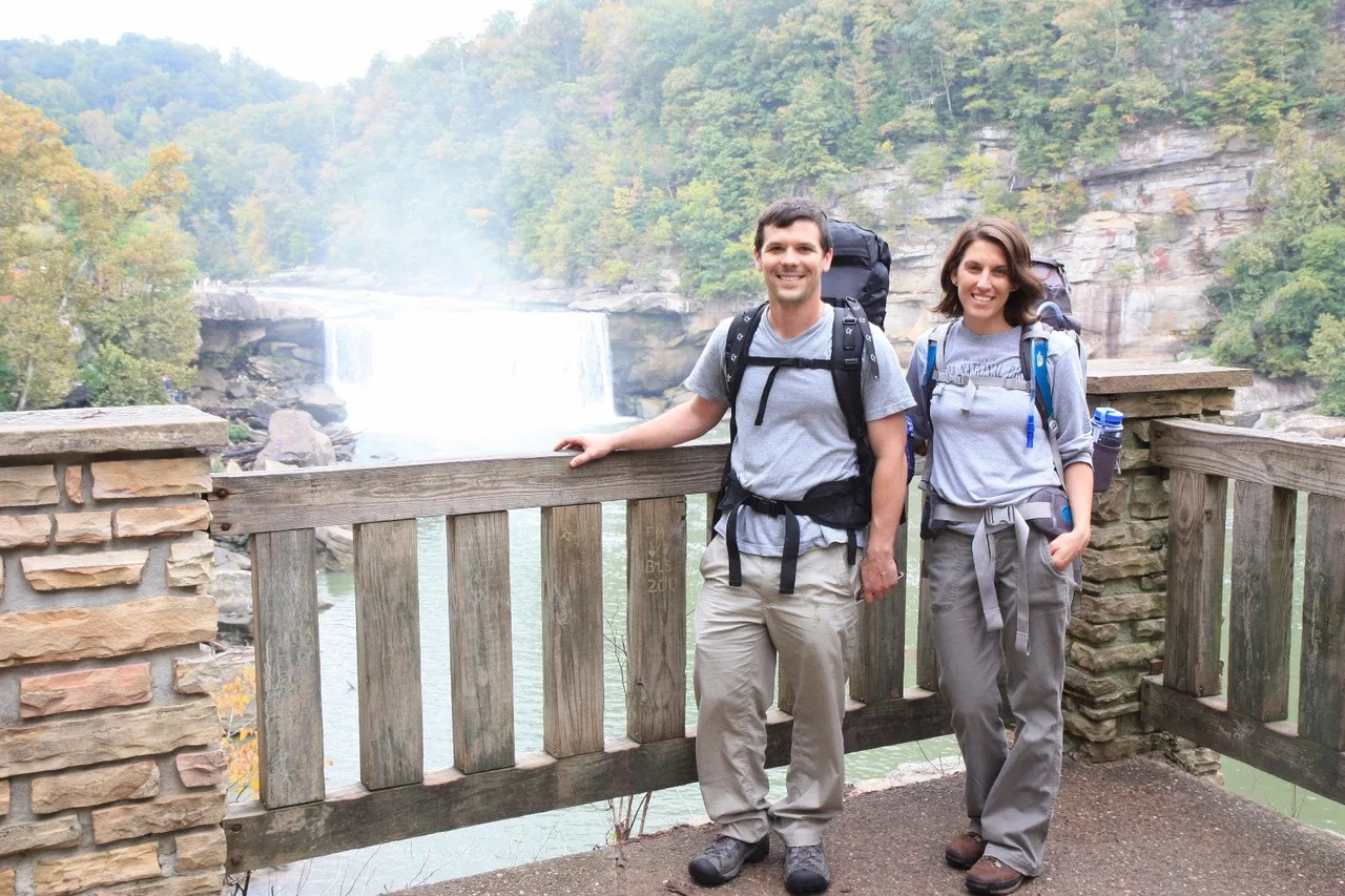
We started at the trail head for Moonbow trail and head north as it follows the Sheltowee trace and starts at the Cumberland Falls Overlook. This entire section of trail follows along the Cumberland river, and offers many nice views of the river.

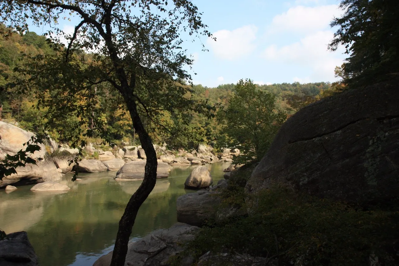

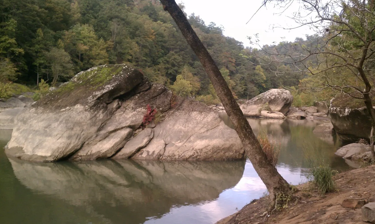
Plenty of nice places to relax along the trail and take in the views.
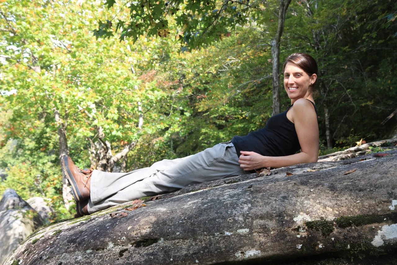
Better not rest to long. This section of the trail is not very difficult generally, but there are plenty of up and down elevation changes with many areas of stone steps scattered along the trail built originally by the Civilian Conservation Core.

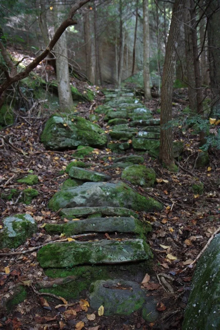
There are also many dramatic cliffs and bluffs along the trail.

Along this section of trail the first waterfall you will come to if you start where we did is one with a very unappealing name "Dog Slaughter Falls" marks the end of the most traveled section of the trail at around mile 3.5 and makes you wonder what used to go on around here that this is the name it has been given. But never the less. All the falls you will come to along the trail are quite nice and varied in their size and drop. This picture is of one of the pools on Bark Camp Creek.
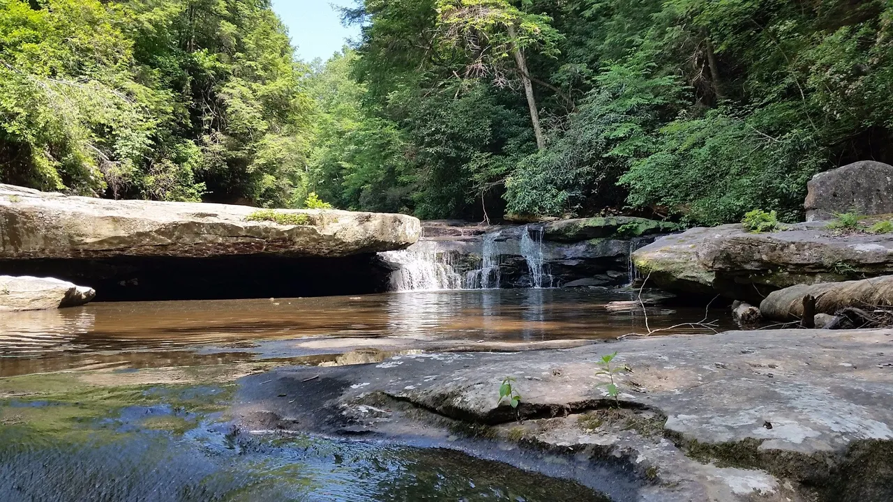
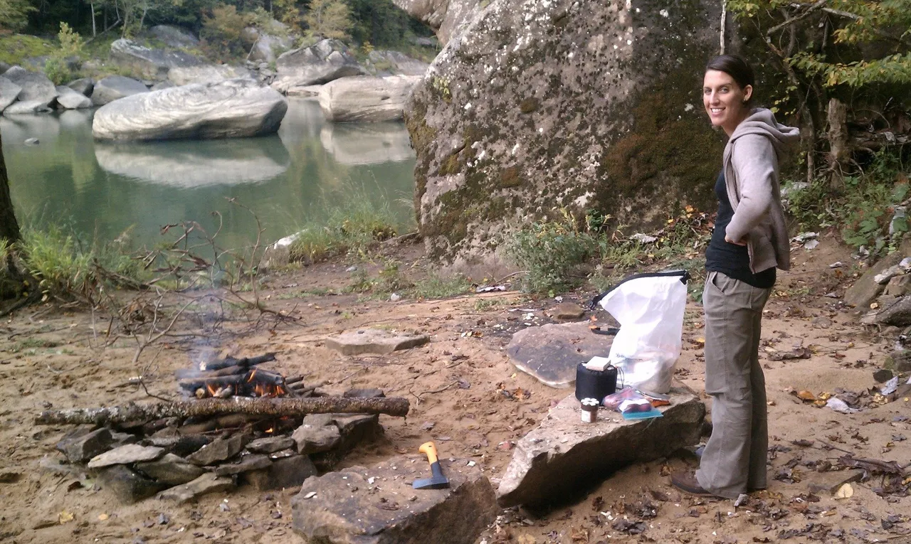
There are several places to set up camp along this section of trail. On this night we decided to fight the sand and camp waterside.

We think it was worth it with this view for dinner.
