
This journey starts at a pristine lake. The lake may seem somewhat arbitrary; a random expanse in the upper reaches of a vast watershed that goes in many directions and bisects the land. There are other tributaries and drainages that extend much further when followed to their source, but they do not bear the same coveted 'headwater' title.
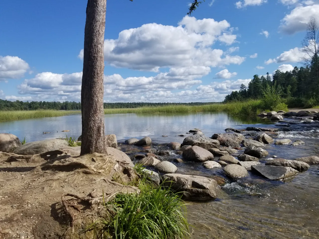
Here we are at Lake Itasca, where the rice grows wild and rains and springs accumulate to form the beginning of a great river. The river here is more like a creek in that it can be crossed by hopping on stones rather than swimming or wading, but unlike the many streams that feed the lake the outlet at the northern end flows year round. Itasca also has the distinction of being the highest elevation lake feeding a non-ephemeral stream that flows into the Mississippi. It seems the headwater designation is not entirely arbitrary. Perhaps Itasca is a unique place after all...

On our trip to the source, the expedition team plans a few stops to discuss and contemplate some deeper issues troubling our nation. Water quality, oil pipelines, and Native American land rights were among the most fascinating topics breached. Can a treaty more than 150 years old be used to protect the quality of the water? Is there legal ground to stand on when attempting to block the construction of another pipeline (Line 3) through lands that are essential to the livelihood of a dislocated and largely disregarded population? Fish and rice are the main sources of sustenance for the Native population, and this treaty ensures usufurct rights on a Federal level.
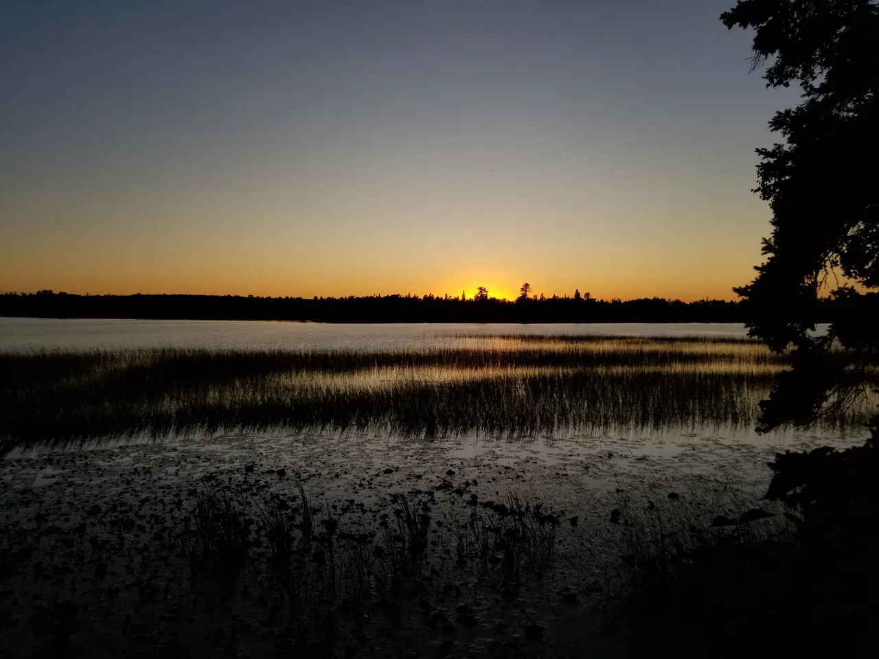
With these and other varied thoughts echoing in our minds, we set off down the great river. We are headed north at first toward our eventual destination far south in the Gulf of Mexico, where fresh water meets a salty demise in the Atlantic Ocean. The bends of this narrow and gently flowing stream are wide and often, forcing frequent sharp turns in our long and gear-laden tandem canoes.
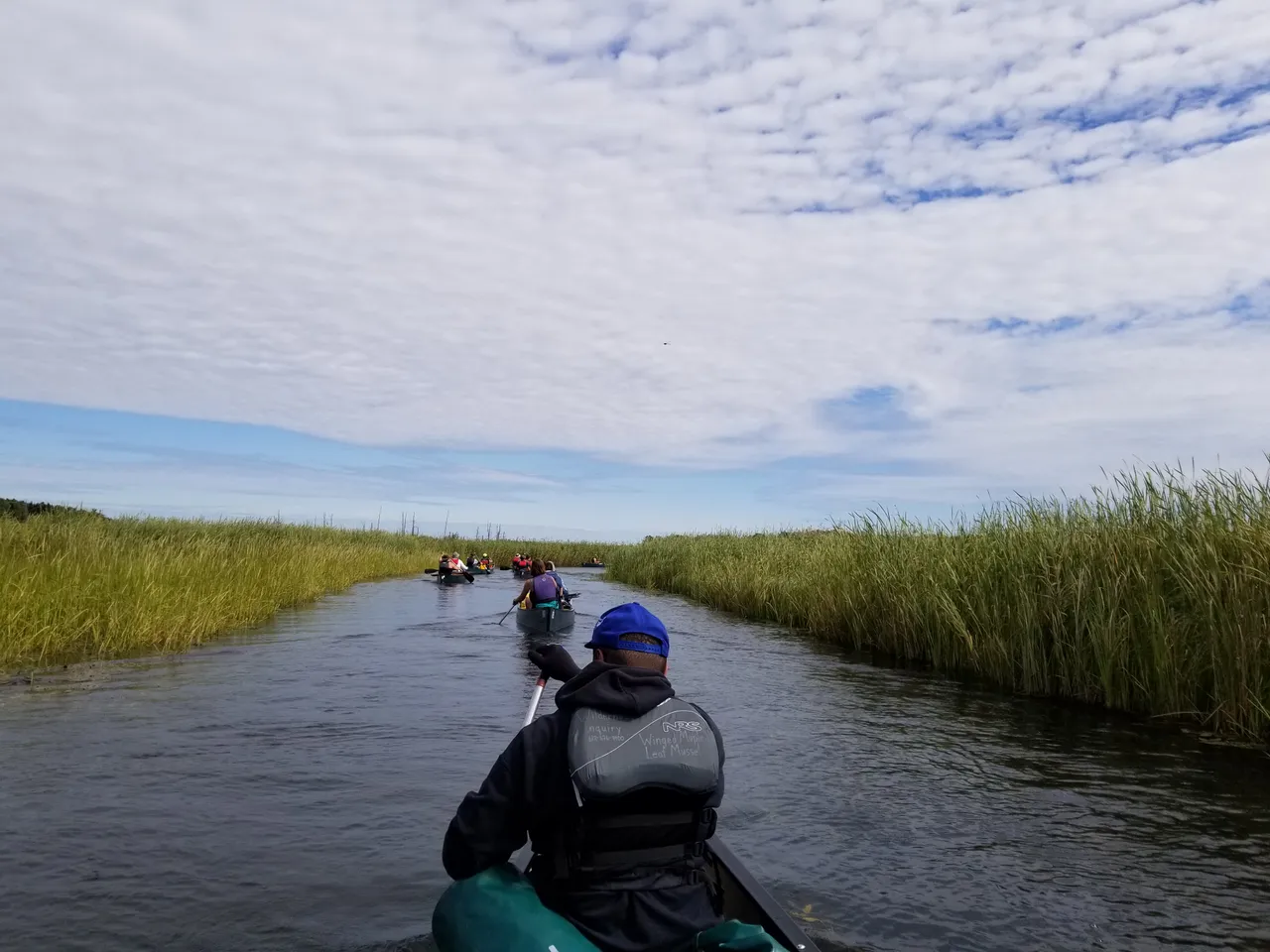
Around each bend we are met with endless meadows of wild rice and cattails. The water is frigidly cold and strikingly clear, in stark contrast with the muddy, polluted waters that are generally associated with downstream reaches of the river. The marshy wetlands that form the corridor of the headwaters area seem to be doing their job, filtering for purity.
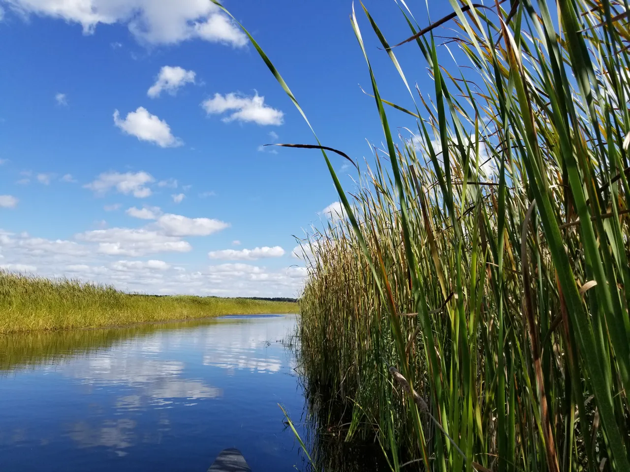
At times the vegetation is so densely thick that we are unsure what direction the river is flowing. We fight through the reeds and plow a path until the waterway opens up again. The cattails grow so charmingly tall here, creating a barrier between the river channel and the rest of the world.
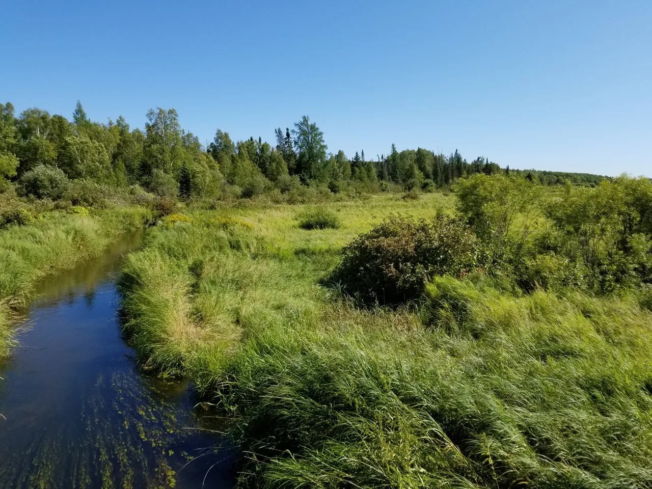
The isolation of the broad flooded plains makes navigating by landmark more difficult, and the many drunken meanderings of the river make it unrealistic to maintain knowledge of our precise location without the use of GPS. Offline maps preloaded on a smart phone offer unparalleled detail and convenience as we drift in and out of cell phone range. Up here, Google Maps is not a reliable solution. Airplane Mode becomes a necessity for battery conservation and VHF radios are utilized to monitor the weather and communicate among the fleet.
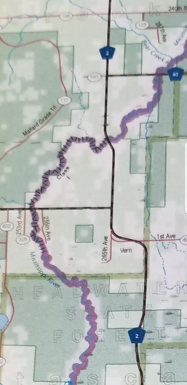
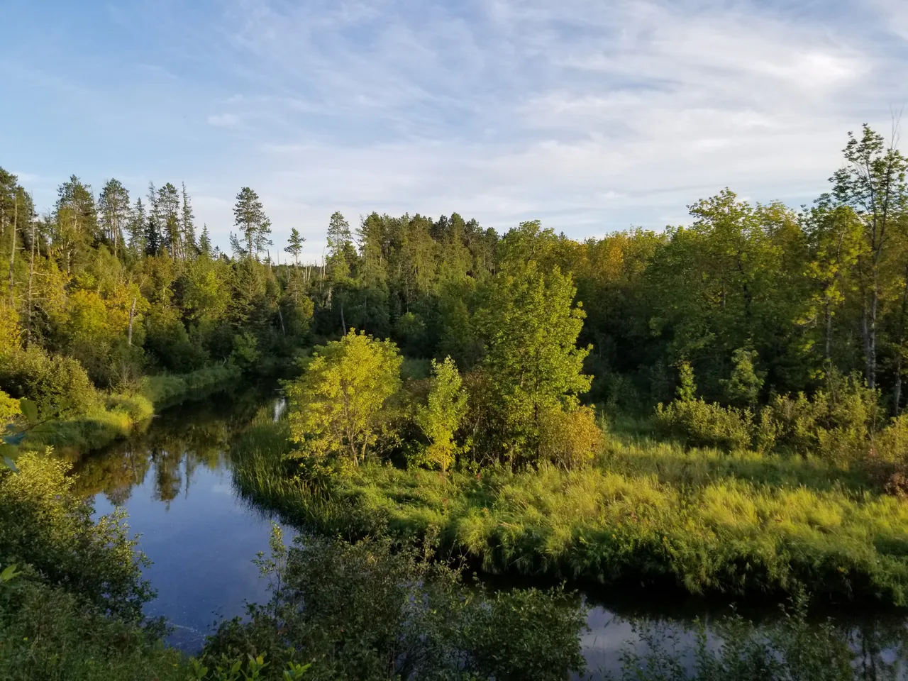
Occasionally our path intersects a road and we pass under a bridge. Sometimes we use this as an opportunity to get a vantage of the valley and take a break from the water to stretch our legs and savor the earth and the wonders of dry land. Trucks and cars that pass us by must be surprised to see such a large and motley crew in places so remote.

Our first night on the river is spent at an unofficial campsite atop a nice ridge overlooking the valley just downstream from some mild rapids. We cohabitate the space with some friendly folks who had an RV and some ATVs. We practice the many arts of campcraft as a group and then share stories with our new neighbors before calling it a night.
The following two nights are enjoyed at a lovely maintained DNR campsite a couple dozen miles down river. We take time to establish a more permanent camp complete with two power arrays and a slew of scientific instruments. Many water quality properties are being monitored throughout the trip to record how they change with the land. This may become one of the most compelling pieces of evidence in support of the Anthropocene period.
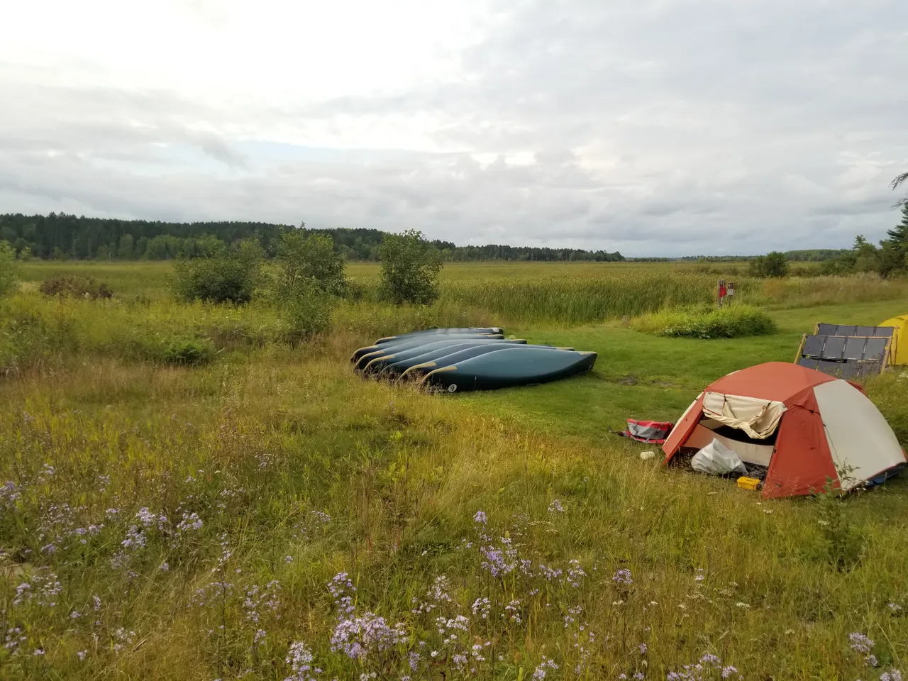
As we settle into a more relaxed camp life, there is time to reflect and converse and share ideas. The college students earning credit hours for this course are working on their studies while the rest of us get a chance to forage, wander, use technology, and sleep in a little. Boletes are the prominent edible fungus of the area forests, and a very small harvest of dwarf blueberries, raspberries, and highbush cranberries are gathered as some fresh fruit in compliment the dried mango and raisins.
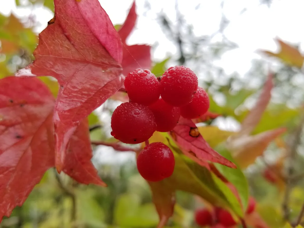
The highbush cranberries are delightfully tart and juicy on their own, and the coating of misty morning dew adds a chilly, moist touch. The unfortunately large pit seed takes away from the fruit to be savored, as it is not actually a cranberry but merely imitates one in taste. The final night for this part of the journey is celebrated with campfire songs and a memorable display of the northern lights.

The final day we paddle another 10 miles to outpace a severe thunderstorm system that is rapidly approaching. The long drive home is met with high winds, unpredictable rain, and one of the most incredible lightning displays I have ever experienced. I hope that these nearly missed storms will not catch up with us, as our journey is only just beginning...with such an incredible group of people, this is shaping up to be the adventure of a lifetime!